How the national economies of the world compare to US states
Reddit user: FSMPBUH
Read MoreReddit user: FSMPBUH
Read MoreReddit user: AJgloe
Read More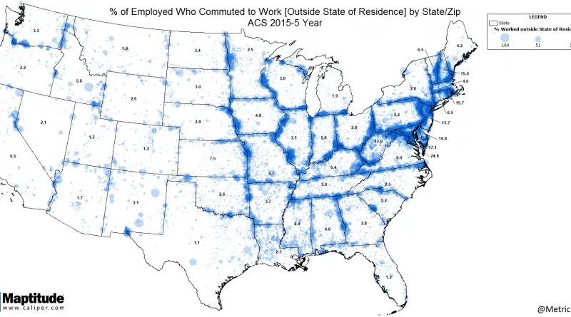
According to the Census Bureau, the national average commute time in the United States is 27 minutes. That implies as a whole, the everyday average American commute time is under an hour, 54 minutes, assuming one round journey.
Read More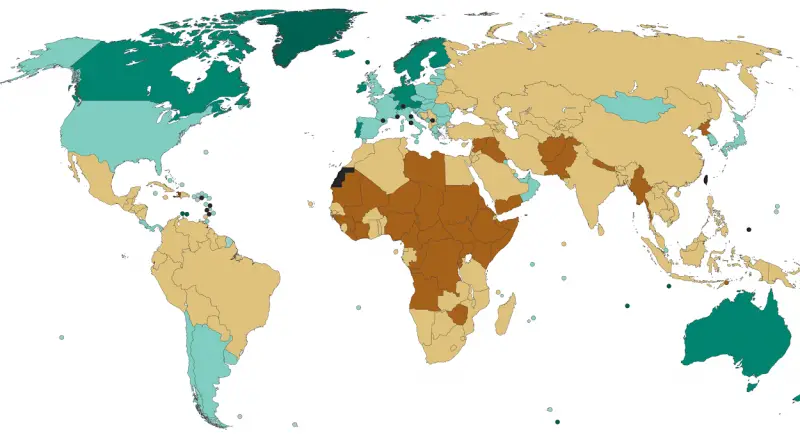
Source: epatrono The Fragile States Index is an annual report published by the U.S. think tank, the Fund for Peace
Read MoreLondon has been a host to thousands of movie sets. This map displays where what movie and what scene has
Read MoreReddit user: ThorPL123
Read MoreEven before modern times, the Afro-Eurasian world was already well connected. This map depicts the main trading arteries of the
Read Moretextio.ai The full list of US states & their most distinctive cliches: Alabama – Value add Alaska – Corporate values
Read MoreReddit user: vonsenke
Read MoreReddit user: dobik
Read More