Europe divided by New York City GDP
Dive into the economic realms of New York City and Europe’s key cities, uncovering the economic dynamics, figures, and comparisons that highlight their economic prowess and global impact.
Read MoreDive into the economic realms of New York City and Europe’s key cities, uncovering the economic dynamics, figures, and comparisons that highlight their economic prowess and global impact.
Read More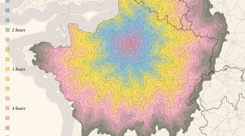
According to James Maxwell Anderson by the late eighteenth century, the region of the Ile de France had the best-constructed roads in Europe, much admired by foreigners. But, when traveling by horse-drawn vehicles over vast distances, travelers found that the roads sometimes became just bumpy tracks and that the trip was slow and tiresome.
Read More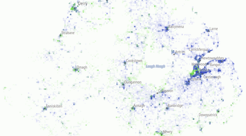
Where Protestants and Catholics have lived in Northern Ireland over the last 50 years?
Read More
The biggest the per-capita debt, the bigger the state. States with the biggest per-capita debt are at the center of
Read MoreReddit user: AJgloe
Read More
Uncontacted peoples are populations of indigenous peoples living without ongoing contact with neighbouring societies and the world community.
Read More
Each point is the average direction of travel, the first image showing pick-ups and the second showing drop-offs. The color
Read More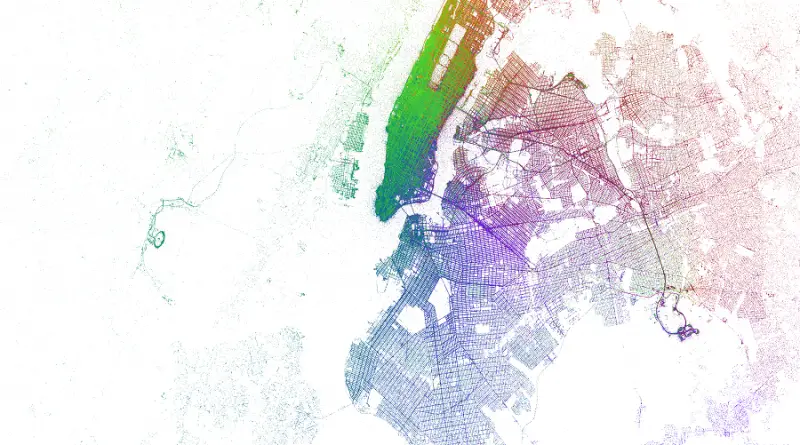
Each point is the average direction of travel, the first image showing pick-ups and the second showing drop-offs. The color
Read MoreThis video will map the entire history of Australia and the Pacific Islands, known collectively as Oceania. Due to a
Read More