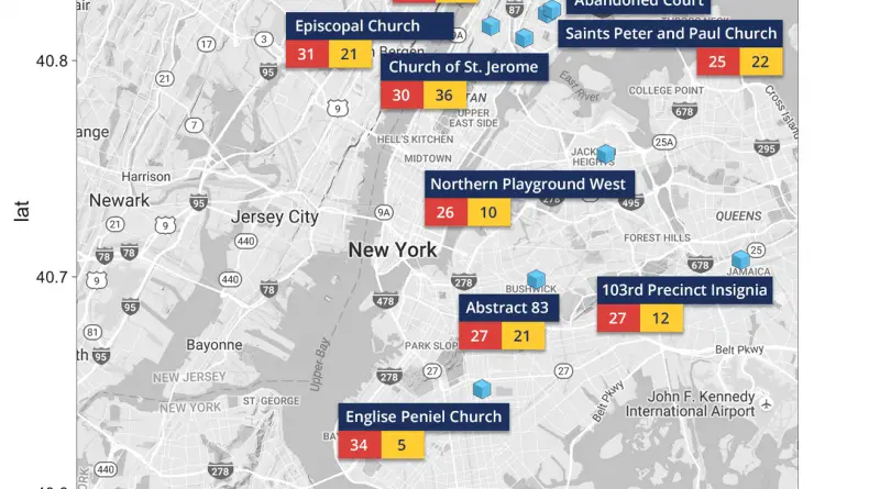
The Most Dangerous PokeStops in New York City
The average number of incidents of all New York City PokeStops stands at 0.15 for murder or rape and 4.00
Read MoreCanada & the United States in the year 2092
Douglas Copeland (1992)
Read MoreThe Airbnb Effect
Airbnb affects the city’s housing supply and affordability. Explore the key variables of Airbnb use and how it impacts your
Read MoreVisualizing 19th-Century New York
A spatial interface to twenty essays on the objects & themes of the exhibit as well as th objects and
Read More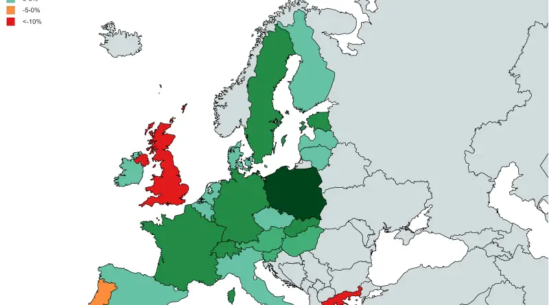
Ethnic and Cultural Diversity
An ethnic group or ethnicity is a category of people who identify with each other based on common language, ancestral, social, cultural, or national experiences. Unlike most other social groups, ethnicity is primarily an inherited status. Membership of an ethnic group tends to be defined by a shared cultural heritage, ancestry, origin myth, history, homeland, language or dialect, symbolic systems.
Read More