Skip to content
Vivid Maps Logo

  • Atlases
  • Map Posters
  • Scratch Maps
  • Globes
  • Videos
World map of countries based on share of immigrants
DemographyNewsVivid maps

Mapped: Countries With the Lowest Percentage of Immigrants

June 18, 2025 Alex
United States border elevation maped
Environment mapsNewsPolitical mapsVivid maps

United States Border Walls

May 21, 2025 Alex
Cash in the banks by U.S. state mapped
Economic mapsNewsVivid maps

States Where Americans Have the Most Cash in the Bank

May 5, 2025 Alex
Mapped: Which Countries Get the Most Paid Time Off Overall
Economic mapsJob

How Paid Vacation Varies Around the World

August 5, 2025 Alex
Countries wealthier than the global average mapped
Economic maps

Which Countries Are Wealthier Than the Global Average?

July 27, 2025 Alex
Siesta in world countries mapped
Cultural cartography

Siesta Nations: A Map of Midday Rest Traditions Around the World

July 19, 2025 Alex
Difference between male and female BMI by country mapped
Health

Who Has Higher BMI: Men or Women?

June 25, 2025 Alex
Great Britain's Islands larger than 5 km2
Size comparison maps
June 28, 2018 Alex

Great Britain’s Islands Mapped larger than 5 km2

Great Britain, comprising the main islands of England, Scotland, and Wales, is a geographically and culturally diverse archipelago located in the North Atlantic Ocean, forming the core of the British Isles. These islands are steeped in history and have a rich tapestry of landscapes, traditions, and heritage.

Read More
A map of the distance WW2 fighters can fly from the UK mainland
Historical Maps
June 28, 2018 Alex

The distance WWII fighters can fly from the United Kingdom mainland

The range of fighter aircraft in WWII wasn’t just about numbers on a map – it determined the course of the air war. From the Spitfire’s defensive perimeter to the Mustang’s deep strikes, each aircraft’s range shaped Allied strategy.

Read More
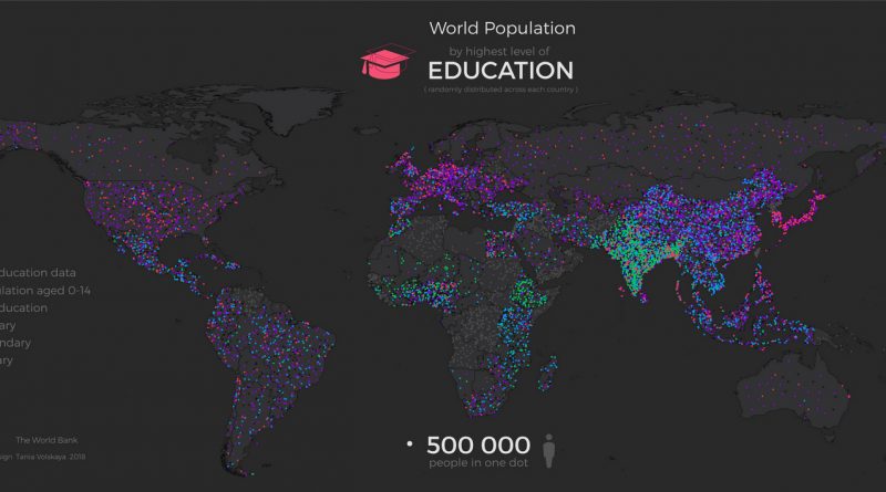
Gender gap in higher education attainment in Europe
Education
June 26, 2018 Alex

The Growing Gender Gap in European Higher Education: A Regional Analysis

An in-depth analysis of the gender gap in European higher education, showing how women are increasingly outpacing men in university completion rates across most regions, with notable geographical variations.

Read More
Map of the square and stationary Earth
Old maps
June 24, 2018 Alex

Map of the Square and Stationary Earth

A deep look at Professor Orlando Ferguson’s 1893 Biblical flat Earth map and the ongoing debate between scientific consensus and flat Earth beliefs in modern times.

Read More
EnergyWater
June 24, 2018 Alex

What’s Your U.S. County’s Water Use? Understanding America’s Water Consumption Patterns

detailed look at water usage patterns across U.S. counties, revealing how different regions rely on water resources for power generation, farming, and daily life. Based on USGS data, this analysis shows where and how Americans use their water.

Read More
States and territories of the United States of America
Historical Maps
June 22, 2018 Alex

Map of the United States: A Historical Evolution from Colonial Times to Today

Witness the dramatic expansion of the United States through carefully curated historical maps, showing how thirteen colonies grew into a continental nation spanning from the Atlantic to the Pacific.

Read More
Top selling World Cup jerseys by US state (2018)
Sport
June 21, 2018 Alex

Top-Selling World Cup Jerseys Across the United States: A State-by-State Look

A unique map of the United States reveals surprising patterns in World Cup jersey sales, with Mexican national team gear leading in many states while European powerhouses claim strong regional followings. The patterns reflect both cultural connections and soccer excellence.

Read More
Comic map of Europe, 2018
HumorOld maps
June 20, 2018 Alex

The Art of Mockery: Satirical Map Posters of Europe Through Time

Political tensions and international relations have long been captured through satirical map posters of Europe. See how artists portray these dynamics through the ages.

Read More
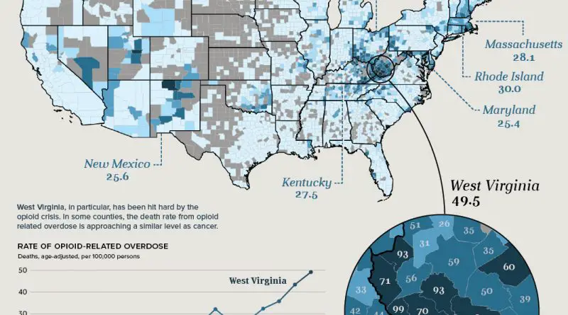
Change in Deaths from Alcohol Use Disorders, 1980–2014
Interactive mapsMapping Health
June 20, 2018 Alex

Mapping the Changing Landscape of Alcohol-Related Mortality in America

An evidence-based examination of alcohol-related mortality rates across American counties over several decades, revealing critical regional variations and providing important public health insights.

Read More
Historical Maps
June 19, 2018 Alex

Greece Under Ottoman Rule: A Complex History of Resistance, Autonomy, and Cultural Influence

For nearly four centuries, Greece was under Ottoman control, marked by varying degrees of autonomy, cultural exchange, and economic influence. Explore how the Greeks maintained their identity under Ottoman rule and paved the way for independence.

Read More
Page 93 of 673« First«...102030...9192939495...100110120...»Last »

Trending now

  • Tearing Switzerland apart
  • World map of global precipitation
    The Unequal Distribution of Global Precipitation Mapped

Related Products

Push pin maps · Globe drinks cabinets · Maps of the United States · Board games · Monopoly · Map-based strategy board games · History Board Games · Coloring Books · Handheld GPS · GPS Watches · GPS Trackers

Vivid Maps Tools

· Convert Latitude/Longitude
· Elevation Finder
· Distance Calculator
· Kilometers to Miles Converter
· Kilograms to Pounds Converter
· Liters to Gallons Converter
· Temperature Converter
· Find cities with a similar climate
· Find cities with a similar climate (2050)
· How hot cities could be in 2050
· The U.S. Population Lines

About
Privacy Policy

Copyright © 2025 Vivid Maps. All rights reserved.