Hydrographic Mapping of the Matanuska-Susitna Basin in South Central Alaska
Mapping A Community Rich In Aquatic Resources Encompassing over 25,000 square miles, the Matanuska-Susitna (Mat-Su) basin is rich in aquatic
Read MoreMaps of the US
Mapping A Community Rich In Aquatic Resources Encompassing over 25,000 square miles, the Matanuska-Susitna (Mat-Su) basin is rich in aquatic
Read More“Median Household Income” per “Cost of Living Index” ratio.
Read MoreReddit user: IMakeMaps123
Read MoreFrench North America.
Read More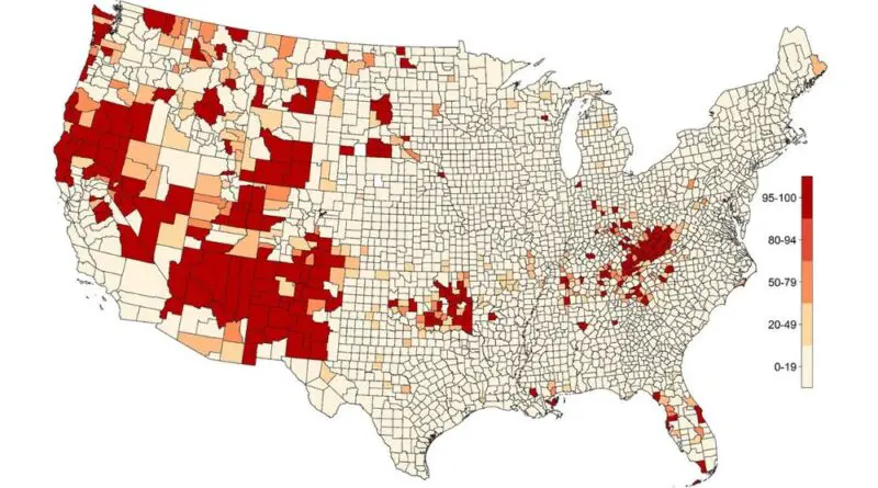
“Deaths of despair,” encompassing suicides, drug overdoses, and alcohol-related diseases, have significantly impacted midlife mortality in the United States. This article delves into the causes, trends, and geographical hotspots of these tragic deaths, with a focus on economic distress and educational attainment. Discover current trends, preventive tips, and detailed insights into how different regions are affected.
Read MoreThe noise map facilitates the tracking of trends in transportation-related noise, by mode, and collectively for multiple transportation modes. The
Read MoreGallup ranked all 50 states on a well-being index for 2016. States were measured on 5 elements: purpose, social, financial,
Read More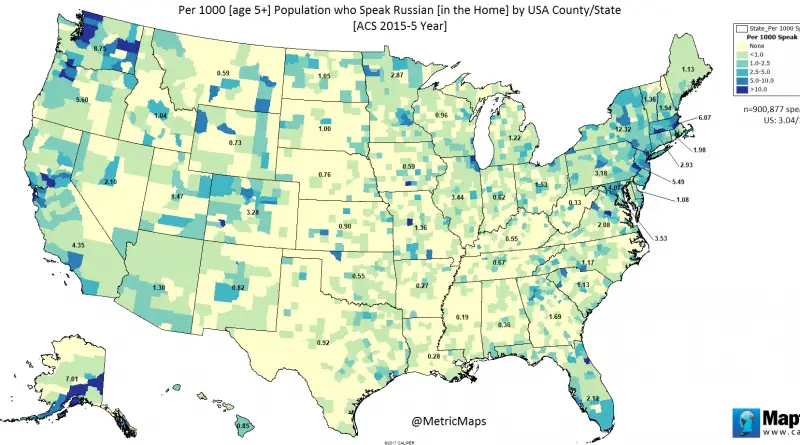
Via www.metricmaps.org/2017/03/20/russian-language-in-home/
Read More
Related posts: – 2016 U.S. presidential election results in three maps – TrumpLand and Clinton Archipelago
Read More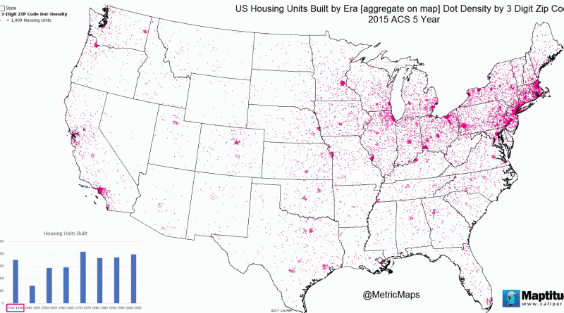
The U.S. states with the oldest housing – % built before 1960 New York – 56.5% (Median year built: 1956)
Read More