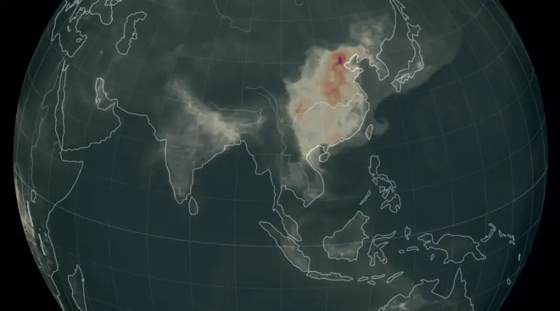
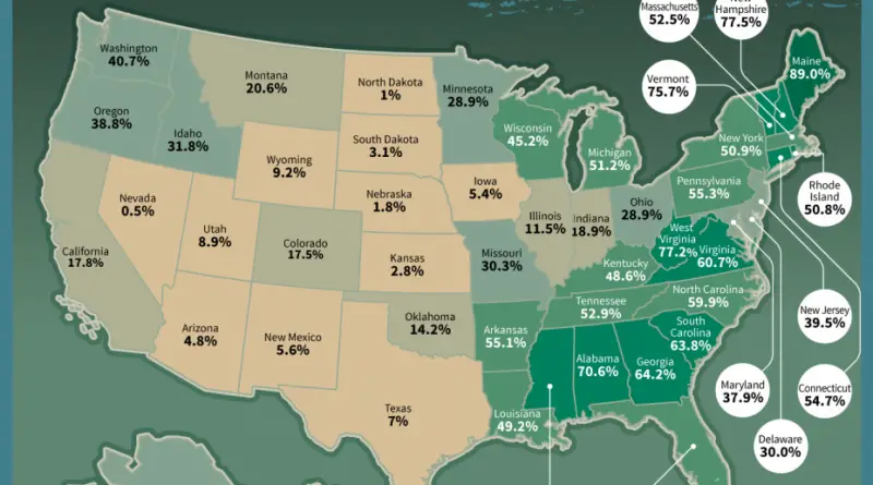
Climate Ready Boston Map Explorer
This mapping tool features data from Climate Ready Boston. Explore which areas of the city are projected to be at
Read MoreMaps depicting environmental degradation across planet.
This mapping tool features data from Climate Ready Boston. Explore which areas of the city are projected to be at
Read MoreDegree of naturalness of rural-agrarian landscape Via AJgloe
Read MoreHow much longer would you live if your country reduced air pollution to comply with your own national standard or
Read MoreReddit user: mmaronn
Read MoreFacilities are often built for the “10-year” or 10% storm. Harvey has dropped a much larger amount of rain, comparable
Read MoreReddit user: Tjukanov
Read MoreThe pessimistic scenario developed by Co$ting Nature removes the pixels corresponding to forest cover over time from the average annual
Read MoreThe map below combines data from all images of France acquired by the Operational Land Imager on the Landsat 8
Read MoreThe U.S. Wind Industry Map allows you to discover all online utility-scale wind projects and wind-related manufacturing facilities across the
Read MoreWithin range of North Korea? (each color band represents 1,000 miles) Source: robslink.com Map of North Korea’s ICBM range. Source:
Read More