
Historical Maps
Historical maps showing territorial changes of countries and historical events of the past.
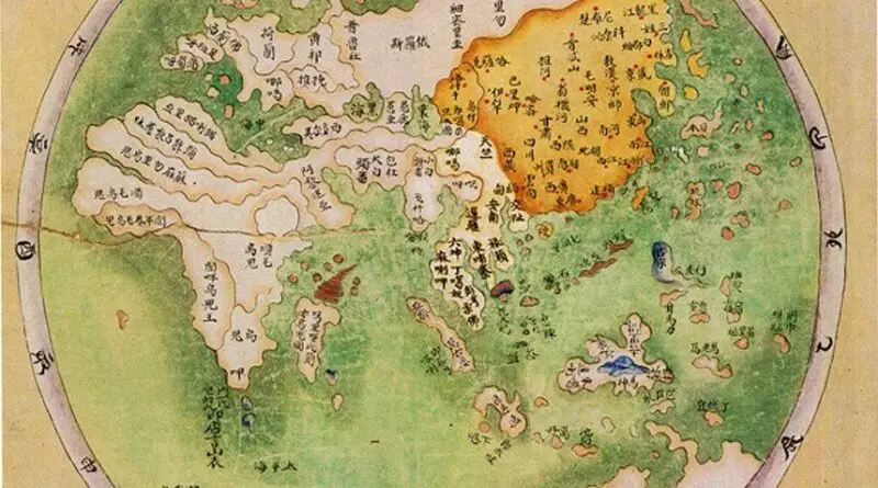
The World According to Ancient China
Ancient China often viewed itself as the center of the world, both culturally and geographically. This perception was reinforced by the idea of the “Middle Kingdom” (Zhongguo), which placed China at the center of the known world. Surrounding regions and countries were seen as peripheral or inferior in comparison.
Read more: The World According to Ancient ChinaChanges to Europe after World War I
WWI involved thirty-two countries from 1914 to 1919. It changed the world map and reshaped various boundaries in Europe. Central-Eastern
Read more: Changes to Europe after World War IPercentage of Nazi votes (1933) and percentage of Catholics (1934)
The Nazis were significantly more popular with Protestants than Catholics.
Read more: Percentage of Nazi votes (1933) and percentage of Catholics (1934)World Maps of Political Regimes
World Maps of Political Regimes in 1980 World Maps of Political Regimes in 1995 World Maps of Political Regimes in
Read more: World Maps of Political Regimes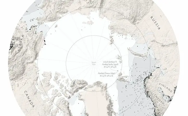
Maps of shipwrecks
During history, vessels have been lost at the ocean due to war, day-to-day trade, and severe weather occurrences. With our growing need to protect the health of our oceans from contamination, sunken shipwrecks have lately been getting increased attention as a potential environmental and health threat.
Read more: Maps of shipwrecks