
Historical Maps
Historical maps showing territorial changes of countries and historical events of the past.
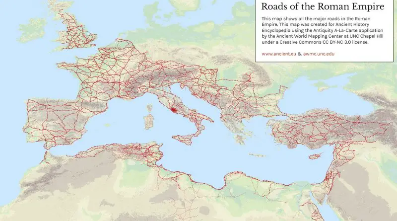
Roads of the Roman Empire
Roman roads used to move of officials, civilians, armies, and trade. Ways of the Empire were of different kinds, varying from small provincial roads to broad, long-distance roadways built to unite large cities, chief towns and military posts. These significant roads were surfaced with stone and metaled, cambered for drainage, and were flanked by walkways, bridle path and drainage trenches. They were set along ideally studied courses, and some were made through hills, canyons and rivers.
Read more: Roads of the Roman EmpireEurope’s biggest cities in 1400
Major medieval cities: >20.000: Liibeck, Sevilla, Toulouse, Magdeburg, Utrecht, Wroclaw, Amiens, Augsburg, Niirnberg >30.000: Gdansk, Barcelona, Roma, Avignon, Marseille, Brussel
Read more: Europe’s biggest cities in 1400
The origin of crops and domestic animals
The domestication of plants and animals was triggered by the climatic changes and environmental transformations that happened after the Last Glacial Maximum’s peak about 21 thousand years ago and which proceed to this modern day. These changes made getting food hard. The first domesticate was the wolf (Canis lupus) at least 15 thousand years ago. The Younger Dryas (about 12.9 to 11.7 thousand years BP) was a period of extreme cold and aridity that put stress on Homo sapiens to enhance their foraging approaches.
Read more: The origin of crops and domestic animals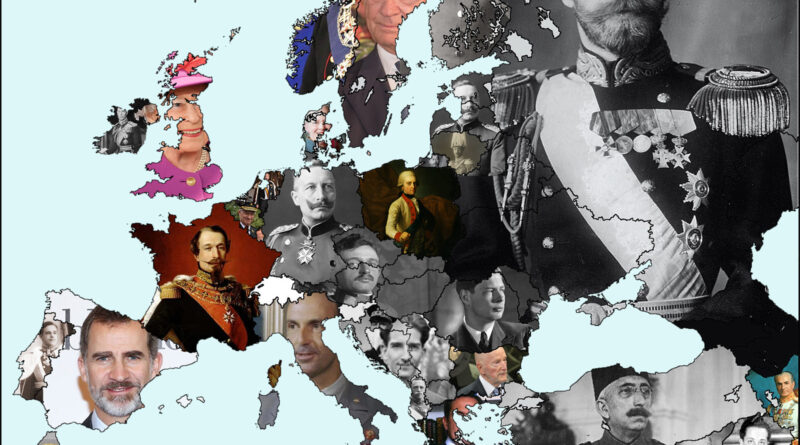
Monarchies in Europe
There are currently 12 monarchies in Europe: Andorra, Belgium, Denmark, Vatican, Liechtenstein, Luxembourg, Monaco, Netherlands, Norway, Spain, Sweden, and The United Kingdom. Six of them are members of the European Union (Belgium, Denmark, Luxembourg, the Netherlands, Spain, Sweden).
Read more: Monarchies in Europe