Paris Flood Map
Source: www.carto.iau-idf.fr/webapps/cartoviz/?r=0.8536412236247395
Read MoreSource: www.carto.iau-idf.fr/webapps/cartoviz/?r=0.8536412236247395
Read MoreOf the 162 Texas earthquakes with magnitudes of 3 or greater between 1975 and 2015, the study categorized 42, or
Read MoreUsing NASA airborne radar, scientists have shown the degree to which New Orleans and its surrounding areas are sinking each
Read More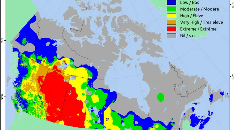
Canadian Wildland Fire Information System.
Read MoreShindo scale, 1-7
Read MoreGlobal earthquake intensity.
Read MoreFor the first time, new USGS maps identify potential ground-shaking hazards from both human-induced and natural earthquakes. In the past,
Read MoreTime lapse of fatal avalanches in Switzerland (1995 – 2016) The geographical distribution of fatal avalanches by the activity or
Read More