Old maps

Old maps

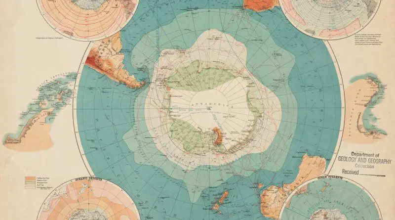
South Polar Chart (1898): A Window into Antarctic Exploration’s Golden Age

In 1898, as international interest in Antarctic exploration reached new heights, oceanographer John Murray created a remarkable map that would influence decades of polar research. This comprehensive chart combined weather data, ocean depths, and territorial claims – laying the groundwork for the golden age of Antarctic exploration.

Read more: South Polar Chart (1898): A Window into Antarctic Exploration’s Golden Age
Old maps

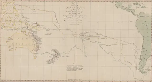
“Chart of part of the South Sea” (1770): A Landmark in Pacific Ocean Mapping

Step into the world of 18th-century exploration with this revolutionary 1770 chart of the South Sea – the first published map to show Australia’s eastern coastline and New Zealand’s complete outline. Created during Captain Cook’s first voyage, this remarkable document changed our understanding of the Pacific Ocean forever.

Read more: “Chart of part of the South Sea” (1770): A Landmark in Pacific Ocean Mapping
Old mapsWars

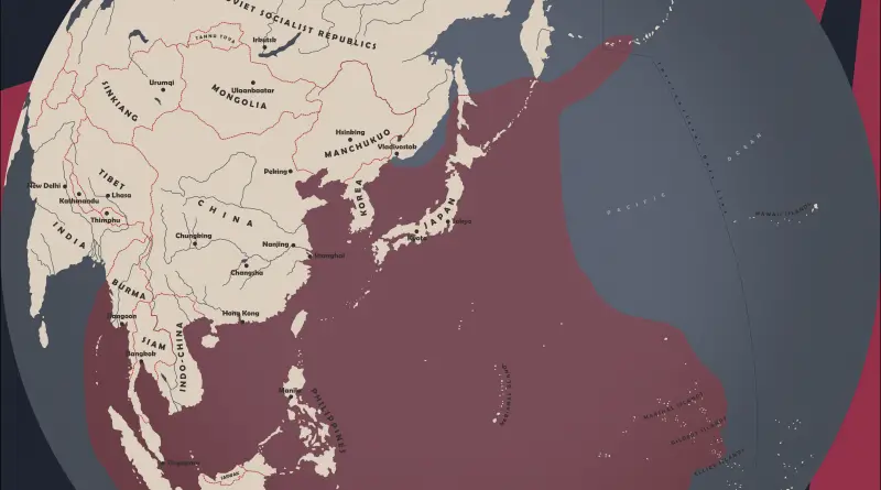
Greatest extent of Japanese naval dominance

In 1942, the Imperial Japanese Navy reached its zenith in terms of naval dominance during World War II. This period was marked by a series of sweeping victories across the Pacific, expanding the boundaries of Japanese-controlled waters to an unprecedented extent. The stunning success of Japanese forces during the early stages of the war saw the capture of strategic territories, including the Philippines, Hong Kong, Singapore, and numerous islands in the Pacific.

Read more: Greatest extent of Japanese naval dominance