Old maps

Historical MapsOld maps

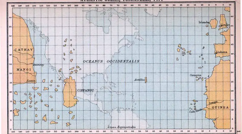
A map of what Columbus expected the world to look like

In 1474, the understanding of the Earth’s continents was based on a mix of ancient knowledge, religious beliefs, speculative geography, and limited exploratory information. The maps from this time period reflected these misconceptions and inaccuracies, which were gradually corrected as more accurate exploration and mapping techniques were developed in the centuries that followed.

Read more: A map of what Columbus expected the world to look like
Old maps

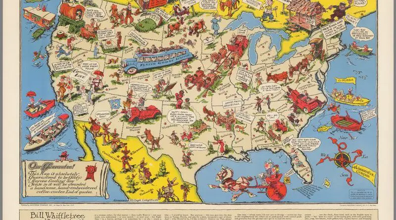
Ration map of the United States

Edward McCandish created a rare and intriguing map in 1944, known as the ‘Bill Whiffletree’ Ration Map of the United States. This pictorial map offers a satirical take on the government’s controversial rationing program during World War II. Similar in style to McCandish’s earlier Bootlegger’s Map, the ‘Bill Whiffletree’ map humorously depicts the challenges and frustrations of the rationing system.

Read more: Ration map of the United States
Old maps

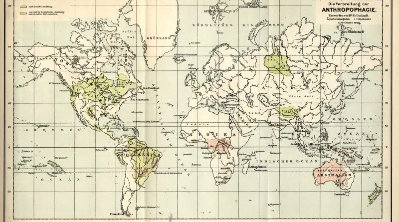
The Cannibal Map of the World: A Dark Chapter in Human History

Delve into the chilling history of cannibalism with “The Cannibal Map of the World (1893).” Understand its occurrence throughout history, across different cultures and societies, and learn about its presence in the animal kingdom and among early humans. Discover more in this detailed exploration of a dark chapter in human history.

Read more: The Cannibal Map of the World: A Dark Chapter in Human History
Old maps

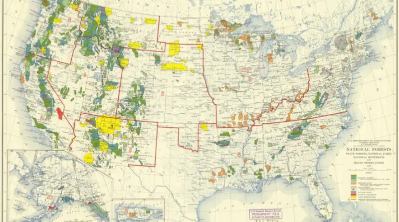
The Ever-Changing Map of the United States: A Journey Through America’s Protected Lands

From the towering redwoods of California to the sprawling Everglades of Florida, the United States is home to a diverse array of protected lands. This post delves into the fascinating history and current status of National Forests, State Forests, National Parks, and National Monuments, revealing how these vital areas have transformed the map of the United States over the past century.

Read more: The Ever-Changing Map of the United States: A Journey Through America’s Protected Lands
Old maps

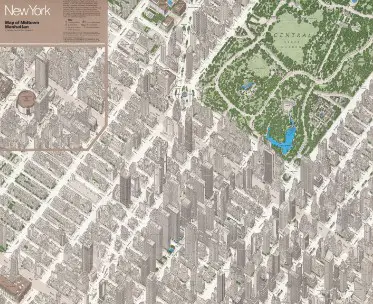
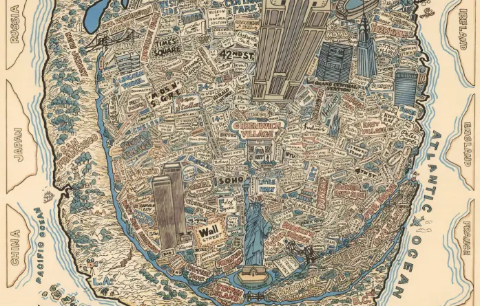
New York City: The Center of the World? A Humorous Take on the Big Apple’s Ego

In the realm of cartography, there’s a map that takes New York City’s ego to hilarious new heights. Picture the Big Apple, with its iconic skyline and bustling streets, blown up to nearly the size of the entire continental United States. It’s a visual gag that speaks volumes about how New Yorkers – and perhaps the world – viewed the city in the 1970s.

Read more: New York City: The Center of the World? A Humorous Take on the Big Apple’s Ego