Climate

Climate

The Most Comfortable Places to Live in the United States

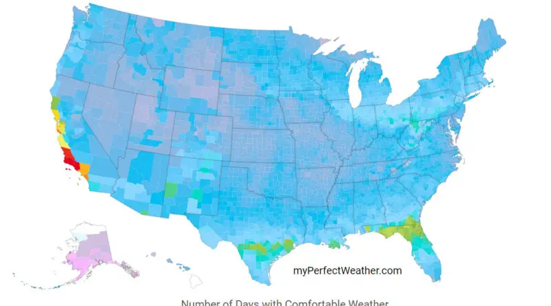
Dive into a fascinating analysis of climate comfort across the United States. This post examines an interactive map showing the number of comfortable temperature days per year, highlighting California’s coastline as a top contender. We also rank various U.S. climate types based on their potential health impacts, offering insights for climate enthusiasts and potential relocators alike.

Read more: The Most Comfortable Places to Live in the United States
ClimateNewsVivid maps

The Hottest Temperatures Around The World Mapped

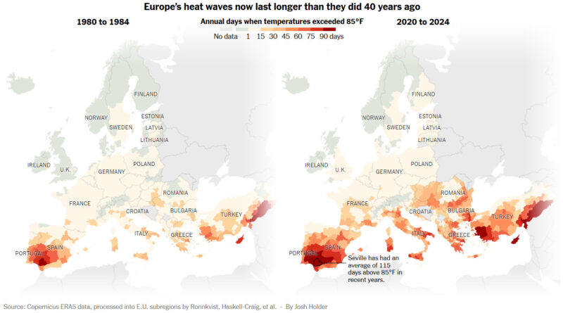
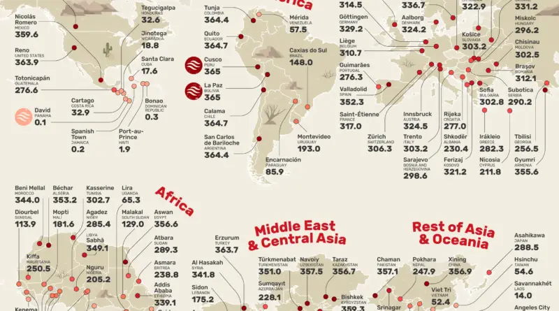
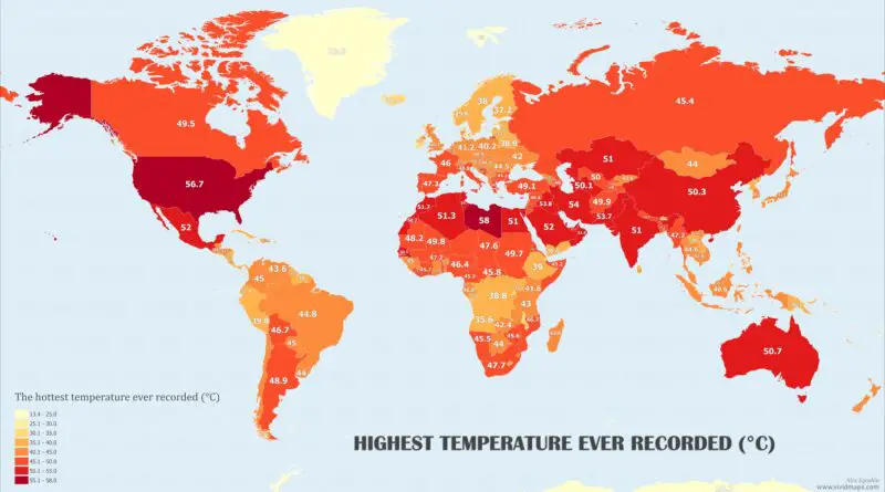
In many parts of the world (except some countries in the southern hemisphere), the summer season is considered the peak vacation period. Summer vacations are popular because they often coincide with school holidays, making it easier for families to plan trips. But summer is not only associated with warm and pleasant temperatures, but also with extremely hot temperatures in many places. So, I decided to create a world map that charts the highest temperatures ever recorded in different countries worldwide throughout the recorded history of weather observation.

Read more: The Hottest Temperatures Around The World Mapped
Climate

The Warmest Day of the Year in The United States

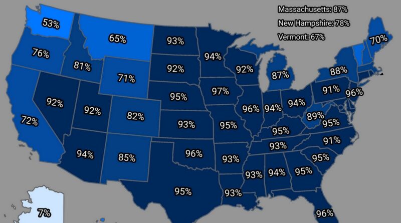
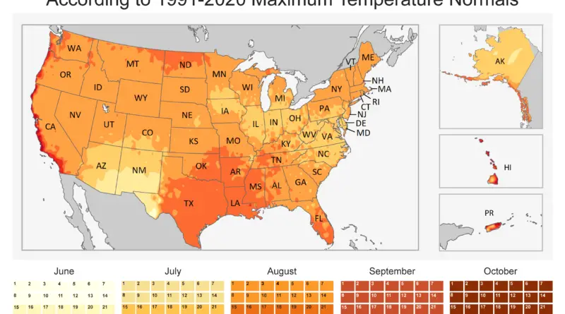
We tend to connect “summer” with “hot” due to obvious reasons. For most of the U.S., the warmest conditions during the meteorological summer months in the Northern Hemisphere (June, July, and August) are observed. However, it is worth noting that the “hottest day of the year” from a climatological perspective differs significantly throughout the United States. Its occurrence can range from early June in certain regions to as late as September and October in others!

Read more: The Warmest Day of the Year in The United States