Spain: What is the most common age of your neighbors?
City centers in Spain tend to be populated by older peoples and Millennials. Young families in the country tend to
Read MoreCity centers in Spain tend to be populated by older peoples and Millennials. Young families in the country tend to
Read MoreThe Atlas of ReUrbanism is a tool to understand, support, and transform American cities. Developed by the Preservation Green Lab,
Read MoreThe light pollution map has two base layers (road and hybrid Bing maps), light pollution radiance overlays and the user
Read More917 hate groups are currently operating in the United States. Track them below with Hate Map.
Read More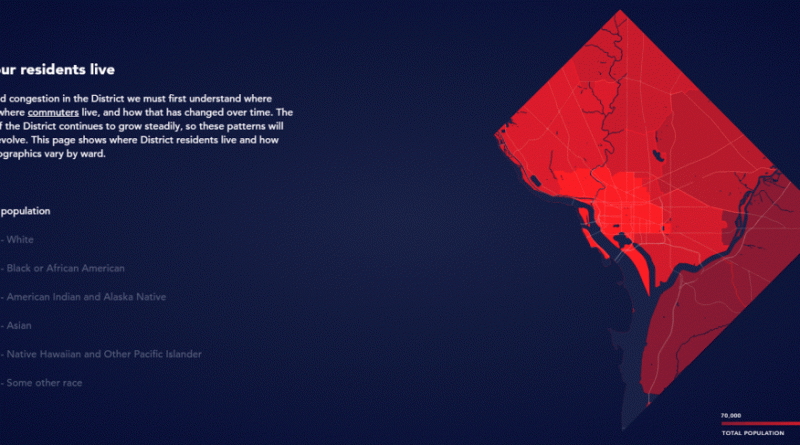
District Mobility is a tool to visualize multimodal transportation system performance within the District of Columbia as a part of
Read MoreBy 2030, over 90% of the UK population will live in urban areas. It’s more important than ever to understand
Read More
Population Change in the Toronto Region. Population density in the Toronto Region.
Read More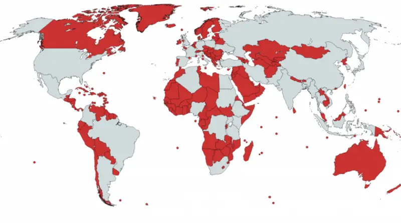
Related post: – The Greater Tokyo Area, as compared to England –
Read More