Are you within range of North Korea?
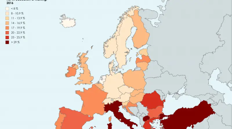
Within range of North Korea? (each color band represents 1,000 miles) Source: robslink.com Map of North Korea’s ICBM range. Source:
Read More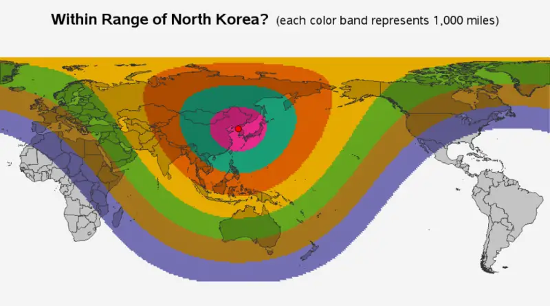
Within range of North Korea? (each color band represents 1,000 miles) Source: robslink.com Map of North Korea’s ICBM range. Source:
Read More
Biogeographic regions of Europe, with overlay of mountain area. Source: www.eea.europa.eu/data-and-maps/figures/biogeographic-regions-of-europe-with Related post: – Find cities with a similar climate
Read More
Europe’s demographic future is set for major shifts by 2100. While some countries will experience population growth, others face steep declines. What’s causing these changes, and how are governments responding? Find out in this in-depth analysis.
Read MoreReddit user: trinitronbx
Read More

Reddit user: realKkona
Read More
Reddit user: FirstWhistle
Read More