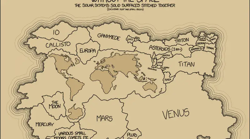
Space without the space: the Solar system’s solid surfaces stitched together
Jupiter, Saturn, Uranus, and Neptune are the biggies planets of our Solar System. If we take relative masses of the
Read More
If “Did Not Vote” was a candidate in 2016, it would have won by a landslide
Related posts: – The America That Never Wanted Hillary To Be President – Red Shift: Change in Democratic vote share
Read More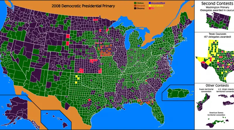
The America That Never Wanted Hillary To Be President
This is a map of counties that Hillary Clinton lost in both the 2008 and 2016 primaries. Hillary carried all
Read MoreWisconsin election results by county (2008 – 2016)
Related posts: – Red Shift: Change in Democratic vote share in presidential election (2012 – 2016) – Where each candidate
Read MoreRed Shift: Change in Democratic vote share in presidential election (2012 – 2016)
Related posts: – Where each candidate outperformed election forecasts – U.S. Presidential Election (2016) – How the presidential election of
Read MoreWhere each candidate outperformed election forecasts
Source: fivethirtyeight.com, Google.com Via metrocosm.com Related posts: – U.S. Presidential Election (2016) – How the presidential election of 2016 would
Read More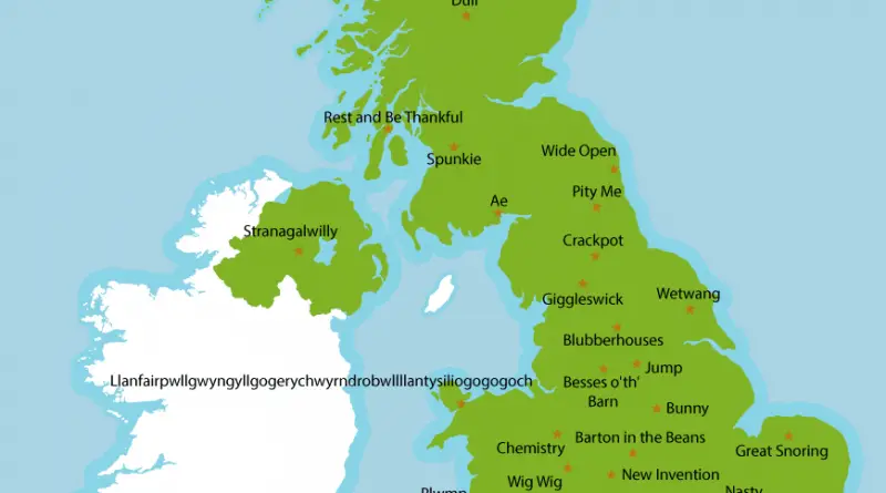
The UK`s oddiest place names
The United Kingdom`s oddest place names: – Ae – Barton in the Beans – Beer – Besses o’ th’ Barn
Read More