Map of Toxic Air
UNICEF
Read MoreUNICEF
Read MoreVia bl.ocks.org
Read MoreSource: www.coaxs.mit.edu/job-map/ Jobs (according to 2014 LEHD data) in the MBTA primary and secondary assessment districts, by industry and
Read MoreControl: – Click on a building footprint for zone and parcel information. – Use shift + up and down/left and
Read MoreDarker shading denotes higher number of items prescribed per head.
Read More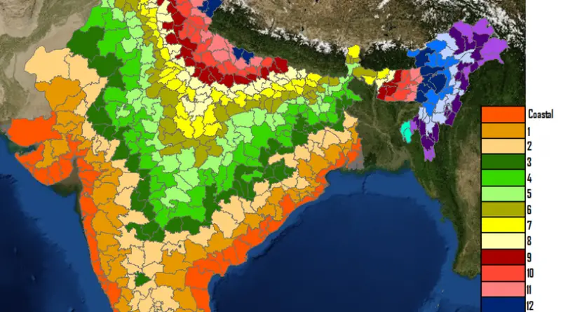

This map is a plot of 1961-1990 annual average precipitation contours from NOAA Cooperative stations and (where appropriate) USDA-NRCS SNOTEL
Read MoreVia nytimes.com Related posts: – Uninsured rate by U.S. State (2008 – 2014) – Uninsured rate by U.S. County (2008
Read More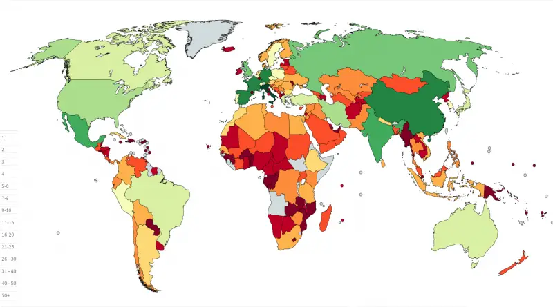
Related posts: – Mapping the intangible cultural heritage – UNESCO World Heritage Sites by Country (Cartogram)
Read More