Environment maps

Light Pollution in the United States

Light pollution is human-made light (streetlights, advertising, building lighting) that disrupts ecosystems and has harmful health consequences. The eastern part of the U.S. has the highest level of light pollution. D.C. is the most light-polluted area of the nation, with higher than 200,000 times the artificial brightness of the U.S. darkest spot, the city of Yakutat in Alaska.

Read more: Light Pollution in the United States
Economic mapsPolitical maps

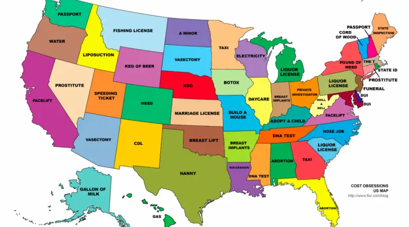
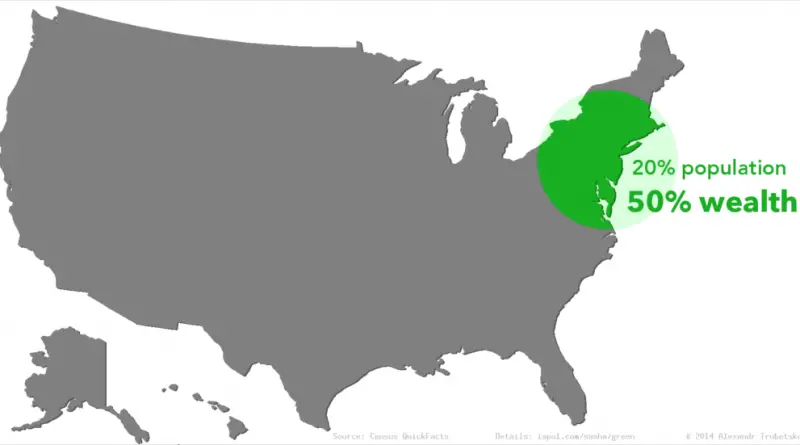
15 maps about America worth bringing up at dinner parties or first dates

At 3.8 million square miles (9.8 million square kilometers) and a population of about 332 million people, the United States is the world’s 3d-largest country by total area and 3rd most populous country in the world. The country consists of 50 states, one federal district, 5 major unincorporated territories.

Read more: 15 maps about America worth bringing up at dinner parties or first dates