Map of New York City stereotypes
New York City is composed of numerous neighborhoods, each with its own unique character and history. Over time, certain stereotypes and perceptions have formed about these neighborhoods and streets.
Read MoreMaps of the US
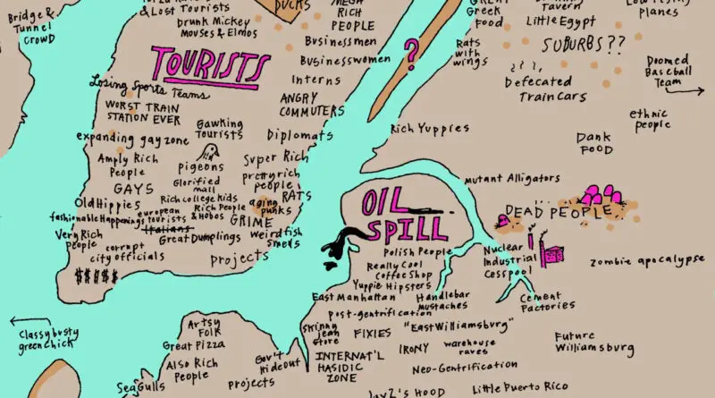
New York City is composed of numerous neighborhoods, each with its own unique character and history. Over time, certain stereotypes and perceptions have formed about these neighborhoods and streets.
Read More
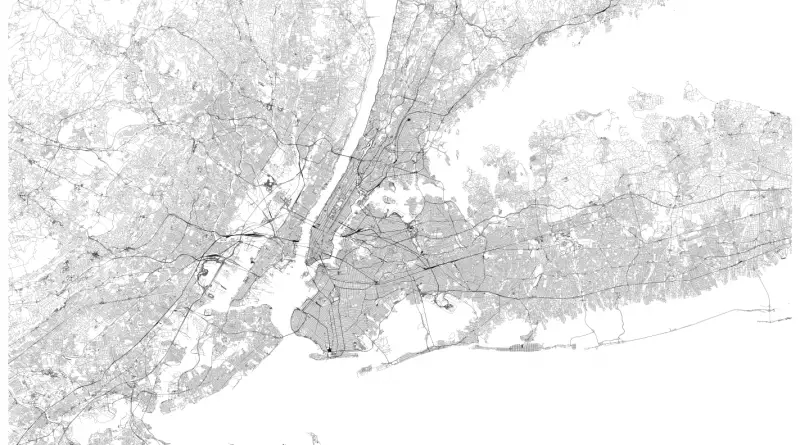
Related posts: – New York’s Subway Deserts – New York City boroughs journey to work-driving ca alone vs. walk/public transportation
Read MoreRelated post: – Countries scaled to the econmic aid they receive from the United States
Read More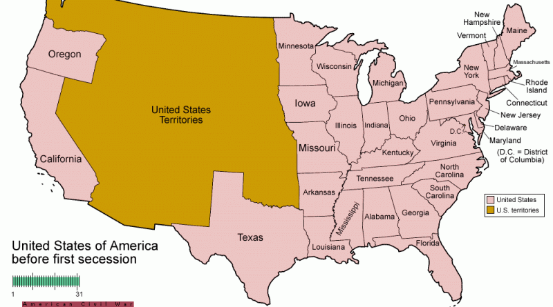
Related posts: – USA boundary evolution – Territorial evolution of North America of non-native nation states from 1750 to 2008
Read MoreThe U.S. has approximately 250 fresh-water lakes known to have surface areas of 13,700 square miles or more. Nearly one hundred are in Alaska, and 100 in Minnesota, Wisconsin, Michigan, New York, and Maine. 23 U.S. states have all the lakes of 10 square miles or more and numerous smaller lakes.
Read More