Bomb Threats to Jewish Organizations & Community Centers
Since Jan. 1, at least 100 locations of Jewish organizations in the U.S. – including schools, Jewish Community Centers, and
Read MoreMaps of the US
Since Jan. 1, at least 100 locations of Jewish organizations in the U.S. – including schools, Jewish Community Centers, and
Read More
According to a study published in February 2017 in the Proceedings of the National Academy of Sciences, 84 percent of
Read MoreCalifornia exports its poor to Texas, other states, while wealthier people move in. About 2.5 million people living close to
Read More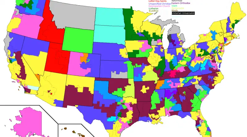
World War II in Europe featured several pivotal battlefronts that significantly influenced the course of the conflict. The Eastern Front witnessed brutal clashes between Nazi Germany and the Soviet Union, with iconic battles like Stalingrad and Kursk shaping the war’s intensity. The Western Front, marked by the D-Day invasion in 1944, saw Allied forces establishing a second front against Nazi-occupied Europe. The Mediterranean and North African campaigns, including battles like El Alamein, played crucial roles in halting Axis advances. The diverse battlefronts collectively contributed to the eventual defeat of Nazi Germany in 1945.
Read MoreBased on 2010 Census population data by census block. Census Blocks with Population < 10 are not included. Other urbanized
Read MoreU.S. Europe
Read MorePrecipitation varies significantly across the U.S. Late summer and autumn tropical cyclones bring rain, dropping across the Atlantic states and Gulf area. In winter and spring, Pacific storm systems get Hawaii and the western U.S. states most precipitation. Low-pressure moving up the U.S.’s eastern shore brings cold season precipitation to the Mid-West and Northeast U.S. states.
Read MoreThe 500 Cities project is a collaboration between CDC, the Robert Wood Johnson Foundation, and the CDC Foundation. The purpose
Read More