3D map of county-level election results
United States Presidential Election 2016 (County-Level Results) The winner of each county and his/her margin of victory is represented by
Read MoreUnited States Presidential Election 2016 (County-Level Results) The winner of each county and his/her margin of victory is represented by
Read MoreVia bl.ocks.org
Read MoreControl: – Click on a building footprint for zone and parcel information. – Use shift + up and down/left and
Read MoreRelated posts: – Italian seismic hazard map – European Seismic Hazard map
Read MoreSan Francisco Los Angeles New York City
Read More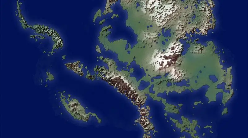
Antarctica without ice The map below account for higher sea levels from ice melt and the uplift of the land
Read MoreGreenland is the world’s largest island and the least densely populated country in the world. It is located in the northern part of the North American continent, between the Arctic Ocean and the North Atlantic Ocean. Greenland is an autonomous territory of Denmark, with its own government and parliament.
Read MoreVancouver is divided into different zones which describe the details of permitted development, use, and so forth. If you’ve ever
Read MoreHudson Yards This 17-million-square-foot complex, the largest private development project in the United States, will include five office towers, 5,000
Read MoreThis map shows the world’s population, represented as yellow spikes. Via metrocosm.com
Read More