European wilderness continuum map
Much work has already been done on mapping wilderness and wilderness quality indices (WQI) across a range of spatial scales
Read MoreMuch work has already been done on mapping wilderness and wilderness quality indices (WQI) across a range of spatial scales
Read More38.4% of the United States’ electricity comes from burning gas, 23.4% – from burning coal, 19.6% – from nuclear energy, 7.1% – from wind, 7.0% – from hydropower, 1.7% – from sun, 1.4% – from biomass, 0.4% – from burning petroleum, 0.4% – from geothermal energy.
Read MoreVia brooklynbrewery
Read More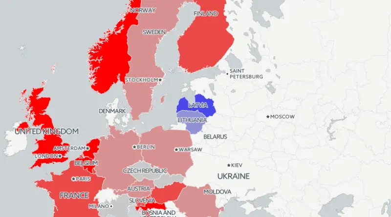
www.louisdore311.cartodb.com/viz/d5722b2c-9368-11e5-8d35-0ea31932ec1d/public_map
Read MoreThe 3D view displays approximately 1,250 satellites in low Earth orbit, medium Earth orbit (green dots) and geosynchronous orbit (red
Read MoreIndia overtaking China as the world’s most populous country Tanzania becoming larger than Japan Nigeria catching up with the U.S.
Read More