United States

Maps of the US

Physical maps

Most Impressive Landforms in Each U.S. state

The impressiveness of mountains and other landforms is inherently subjective. Regardless, two factors that universally contribute to the perceived impressiveness of a landform are its height and steepness. Height is a significant factor in defining impressiveness, but it’s not the only factor. For example, even though Mt. Elbert in Colorado (elevation: 4,399 meters or 14,432 ft) has a higher elevation than Grand Teton in Wyoming (elevation: 4199 meters or 13,776 ft), mountaineers can attest to Grand Teton looking considerably more impressive, as it rises much more steeply over the local landscape.

Read More
Climate

The Warmest Day of the Year in The United States

We tend to connect “summer” with “hot” due to obvious reasons. For most of the U.S., the warmest conditions during the meteorological summer months in the Northern Hemisphere (June, July, and August) are observed. However, it is worth noting that the “hottest day of the year” from a climatological perspective differs significantly throughout the United States. Its occurrence can range from early June in certain regions to as late as September and October in others!

Read More
BusinessEconomic maps

The Cities in the United States With the Highest Percentage of Independent Stores

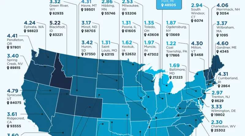
Small businesses play a vital role in any commercial economy. According to the U.S. Chamber of Commerce, there are approximately 31.7 million active small businesses in the United States, which make up 99.9% of all registered companies. Although large retailers are in control of the retail sector in the country, the 100 biggest chain stores generated a total of $2.6 trillion in sales in 2022, as reported by the National Retail Federation’s study.

Read More