Historical Maps

Historical maps showing territorial changes of countries and historical events of the past.
Historical Maps

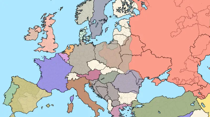
European borders in 1914 over current ones

In 1914, the borders of Europe were shaped by a complex web of historical, cultural, and political factors. The continent was dominated by several major empires, including the Austro-Hungarian Empire, the Russian Empire, the Ottoman Empire, and the German Empire. These empires controlled vast territories and diverse ethnic groups, which often led to tensions and conflicts.

Read more: European borders in 1914 over current ones
Ethnic mapsHistorical Maps

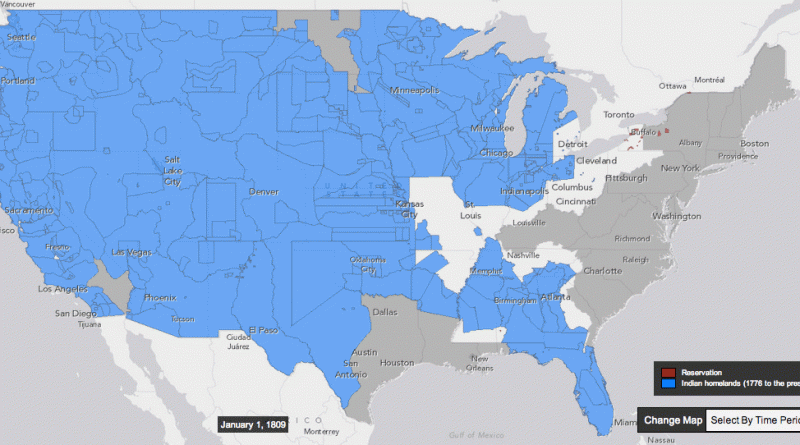
Maps of Native American Tribes in the United States

Estimates of the number of American Indians have been made since the European discovery of the continent. Various authorities estimate that there were approximately 1,000,000 native inhabitants within the continental United States when Columbus reached the New World. They coexisted as some 500 tribes, varying in size from a few dozen to several thousand, speaking more than 300 languages.

Read more: Maps of Native American Tribes in the United States