The Migration of People in Europe
The percentage residing in a country that came from abroad The percentage of citizens in a country that left the
Read More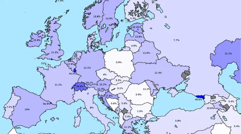
The percentage residing in a country that came from abroad The percentage of citizens in a country that left the
Read More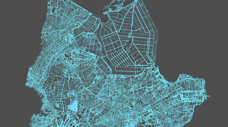
The interactive version of Vespucci and Waldseemüller’s 1507 map.
Read More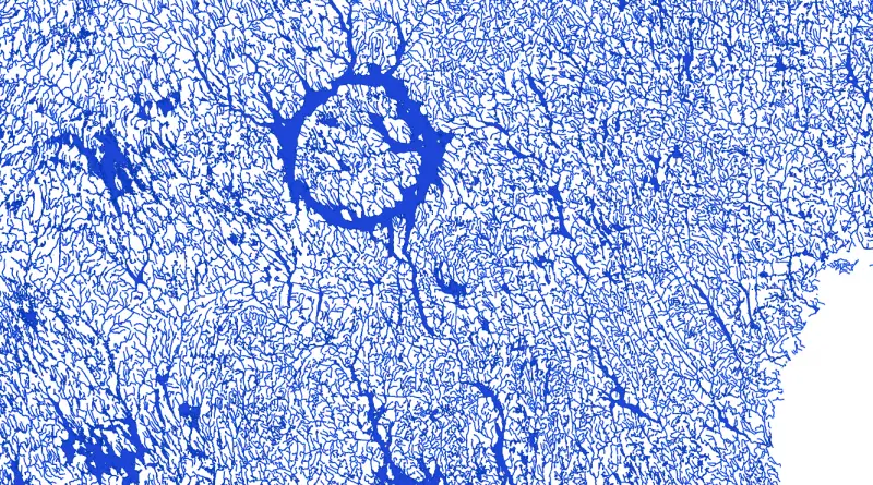
Vancouver Island and southern British Columbia Lake Manicouagan (Quebec) Southern Ontario Southern Saskatchewan & Alberta Great Slave Lake and Lake
Read MoreThe map represents the distribution of the population in Finland. A set of random points has been created within the
Read MoreAmerica’s $18 trillion economy divided in half U.S. state borders redrawn and renamed for countries with GDPs Top 20 U.S.
Read More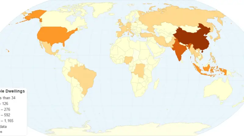
A dwelling is a self-contained unit of accommodation used by one or more households as a home, such as a
Read More
Via bigthink.com
Read MoreHurricane Matthew approached the southeastern United States coast on October 7, 2016. In the map above, the hurricane’s impact on
Read MoreThe World Health Organization (WHO) measures insufficient physical activity as those who engage in less than 150 minutes of moderate
Read More