Historical Maps

Historical maps showing territorial changes of countries and historical events of the past.
Historical MapsOld maps

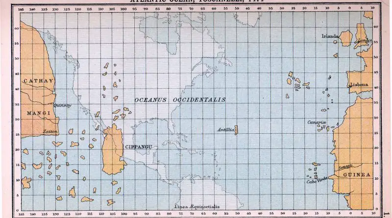
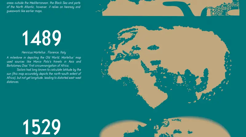
A map of what Columbus expected the world to look like

In 1474, the understanding of the Earth’s continents was based on a mix of ancient knowledge, religious beliefs, speculative geography, and limited exploratory information. The maps from this time period reflected these misconceptions and inaccuracies, which were gradually corrected as more accurate exploration and mapping techniques were developed in the centuries that followed.

Read more: A map of what Columbus expected the world to look like
Economic mapsHistorical Maps

GDP per Capita in Europe 1890 vs 2017

The evolution of GDP per capita in Europe from 1890 to 2017 showcases a profound transformation in the continent’s economic landscape. In 1890, Europe was marked by significant economic diversity, with Western European nations leading in industrialization and higher GDP per capita, while Eastern and Southern European countries lagged behind. By 2017, Europe had undergone dramatic changes, with Western European countries maintaining their economic lead, but with Eastern and Southern European nations making significant strides in economic development. This transformation highlights Europe’s resilience and adaptability, as well as its commitment to economic progress and cooperation.

Read more: GDP per Capita in Europe 1890 vs 2017
Historical Maps

Operation Barbarossa: The Invasion of the Soviet Union

Operation Barbarossa, launched on June 22, 1941, marked the largest military invasion in history as Nazi Germany targeted the Soviet Union. This comprehensive analysis delves into the strategic goals, initial successes, and eventual challenges faced by German forces. Discover how this brutal campaign reshaped the Eastern Front and had lasting impacts on World War II.

Read more: Operation Barbarossa: The Invasion of the Soviet Union
Historical MapsPolitical maps

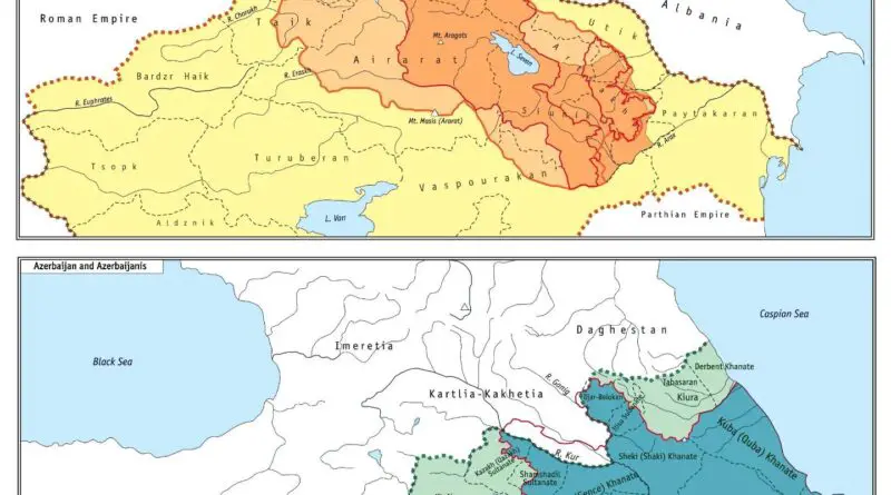
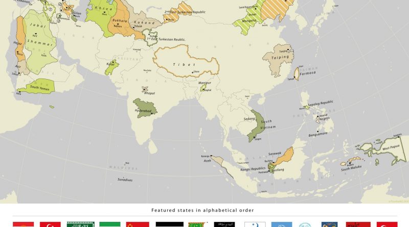
Vanished Nations: A Journey Through Asia’s Forgotten States (1860-2018)

From the rugged mountains of Ararat to the lush islands of Southeast Asia, the map of Asia has undergone constant change. Join us as we uncover the fascinating stories of 33 former states that once dotted the Asian landscape, each with its unique tale of creation, struggle, and eventual fade into history.

Read more: Vanished Nations: A Journey Through Asia’s Forgotten States (1860-2018)