Historical Maps

Historical maps showing territorial changes of countries and historical events of the past.
Historical Maps

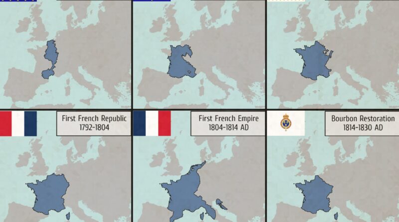
Evolution of France’s Borders Mapped

France’s borders remain a testament to its rich and complex history, reflecting the interplay of conquest, diplomacy, and geopolitics over the centuries. From the medieval domains of the Capetian kings to the modern-day republic, the evolution of France’s borders is a fascinating journey through time, shaped by the ambitions and aspirations of its rulers and people.

Read more: Evolution of France’s Borders Mapped
Historical Maps

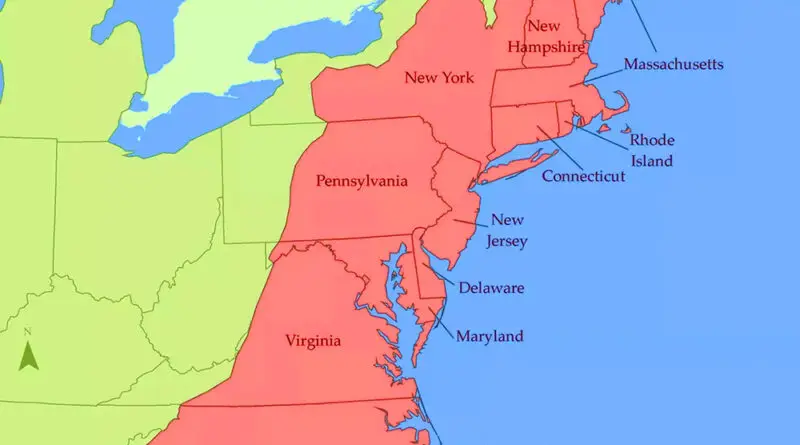
The United States on Its First Day: A Look at America in 1776

Ever wondered what America was really like when the country declared independence? Forget what you learned in history class – the real story is way more interesting. Picture New York City smaller than modern-day Ithaca, Philadelphia’s epic coffee house scene, and news so slow that some Georgians didn’t hear about independence until August! Dive into the fascinating world of 1776 America, where most people never traveled more than 20 miles from home and our biggest city was smaller than today’s Boca Raton.

Read more: The United States on Its First Day: A Look at America in 1776
Historical MapsWars

Bombing During World War II

According to the United States Strategic Bombing Survey, the Allies dropped 2.7 million tons of bombs on continental Europe. Half this total went to Germany, 21.8% to France, and 13.7% to Italy, the remaining 14.2% being partitioned between Austria, Hungary, the Balkans, Belgium, Scandinavia, and the Low Countries. The Royal Air Force did 45.8% of the Allies’ bombing, the United States Air Forces 54.2%.

Read more: Bombing During World War II