Skip to content
Vivid Maps Logo

  • Atlases
  • Map Posters
  • Scratch Maps
  • Globes
  • Videos
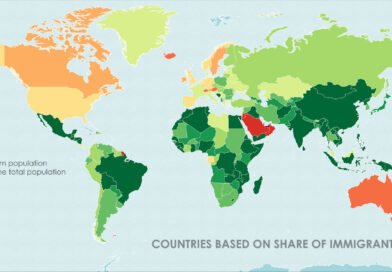
World map of countries based on share of immigrants
DemographyNewsVivid maps

Mapped: Countries With the Lowest Percentage of Immigrants

June 18, 2025 Alex
United States border elevation maped
Environment mapsNewsPolitical mapsVivid maps

United States Border Walls

May 21, 2025 Alex
Cash in the banks by U.S. state mapped
Economic mapsNewsVivid maps

States Where Americans Have the Most Cash in the Bank

May 5, 2025 Alex
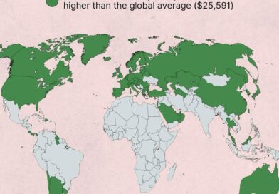
Countries wealthier than the global average mapped
Economic maps

Which Countries Are Wealthier Than the Global Average?

July 27, 2025 Alex
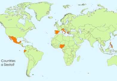
Siesta in world countries mapped
Cultural cartography

Siesta Nations: A Map of Midday Rest Traditions Around the World

July 19, 2025 Alex
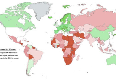
Difference between male and female BMI by country mapped
Health

Who Has Higher BMI: Men or Women?

June 25, 2025 Alex
World map of countries based on share of immigrants
DemographyNewsVivid maps

Mapped: Countries With the Lowest Percentage of Immigrants

June 18, 2025 Alex
Largest cities in Europe mapped
Demography
April 25, 2025 Alex

Europe’s Largest Cities Through 30km Population Circles

How big is a city, really? Instead of relying on inconsistent metro definitions, this post maps and compares Europe’s largest cities by population within 30 km circles. From Moscow to Madrid, see which urban areas dominate when the playing field is circular.

Read More
U.S. presidential election if only white men voted (2024)
Political maps
April 20, 2025 Alex

What If Only White Men Voted in the 2024 U.S. Election?

If only white men cast ballots, how would the 2024 presidential election map change? We look at the results by state, point out significant changes since 2020, and talk about the implications for American voting patterns.

Read More
World map: Global Trade Dominance: U.S. vs. EU
Economic maps
April 19, 2025 Alex

US vs EU: The Global Trade Tug-of-War (2000-2024)

Trade is about power, not just products. The US and EU are vying to influence international trade regulations in 2024. Examine the figures, partnerships, and tactics that determine who is in charge—and why that matters.

Read More
World map: population by subdivisions
Demography
April 18, 2025 Alex

Most Populated Subdivisions in the World

This map-based post explores the most populated administrative subdivisions on Earth, including insights into population growth hotspots and why certain regions dominate demographically.

Read More
Mapped: Right- and left-hand traffic on railways
Transport
April 12, 2025 Alex

Why Some Trains in Europe Run on the Left and Others on the Right

Many European countries drive on the right, but their trains don’t always follow suit. Discover how history, engineering, and geopolitics have shaped the direction of rail traffic across the continent.​

Read More
Cheapest Airlines for Domestic Flights in Every State Mapped
World
April 9, 2025 Alex

The Cheapest (and Most Expensive) Airlines for Domestic Flights—By State

Which airline gives you the most bang for your buck from your state? Find out with this fresh look at U.S. domestic airfare, featuring maps and data-backed insights on which airlines are cheapest—and which are priciest—depending on where you live.

Read More
world map of countries by highest point
Physical maps
April 4, 2025 Alex

Sky-High Nations: Exploring the Tallest Countries and Their Loftiest Peaks

From the Himalayas to the Andes, some countries live life in the clouds—literally. This post maps the highest countries on Earth and their tallest points, revealing how altitude impacts agriculture, tourism, and even health.

Read More
Americans with full or partial European ancestry mapped
Ethnic maps
April 2, 2025 Alex

European Heritage Across America: Mapping Ancestry Patterns

These fascinating maps reveal where German, English, Irish, Italian and other European ancestry groups have settled across American counties, creating distinct regional patterns that persist generations later. Discover which European heritage dominates your region and the historical migration patterns that shaped America’s cultural geography.

Read More
Divide India for Muslims
Historical Maps
April 1, 2025 Alex

The Forgotten Map: Choudhry Rahmat Ali’s Vision for Pakistan and the Partition of India

Before the partition of India, Choudhry Rahmat Ali envisioned a divided subcontinent with separate Muslim homelands—including Pakistan, Bangistan, and Osmanistan. While his vision never fully materialized, it influenced the creation of Pakistan and later, Bangladesh. But was partition inevitable? And how do Indian Muslims live today?

Read More
GPS data from Dutch cars mapped
Travel
March 31, 2025 Alex

Mapping Dutch Holiday Journeys: Insights from GPS Data

A deep dive into GPS data from Dutch travelers uncovers holiday trends, with Germany emerging as the most popular getaway spot.

Read More
Page 5 of 672« First«...34567...102030...»Last »

Trending now

  • Mapped: Walmarts per 100k people
    From One Store in Arkansas to This: Mapping Walmart’s Uneven Spread Across America
  • Half of Greenland’s Population Lives Here — And It’s Only 0.036% of the Land

Related Products

Push pin maps · Globe drinks cabinets · Maps of the United States · Board games · Monopoly · Map-based strategy board games · History Board Games · Coloring Books · Handheld GPS · GPS Watches · GPS Trackers

Vivid Maps Tools

· Convert Latitude/Longitude
· Elevation Finder
· Distance Calculator
· Kilometers to Miles Converter
· Kilograms to Pounds Converter
· Liters to Gallons Converter
· Temperature Converter
· Find cities with a similar climate
· Find cities with a similar climate (2050)
· How hot cities could be in 2050
· The U.S. Population Lines

About
Privacy Policy

Copyright © 2025 Vivid Maps. All rights reserved.