Historical Maps

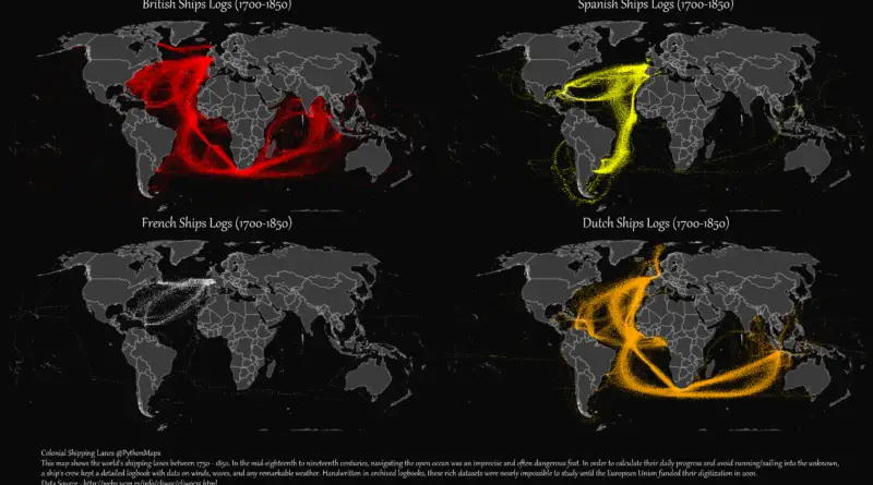
European Colonial Shipping Lanes

British colonial shipping lanes covered vast expanses, connecting the British Isles to North America, the Caribbean, South Asia, and the Pacific. Spanish lanes were primarily transatlantic, centered on the Atlantic Ocean and Caribbean. French routes spanned the Atlantic, Indian, and Pacific Oceans, reaching North America, the Caribbean, Southeast Asia, and the South Pacific. Dutch shipping lanes had a global reach, including the Indian and Pacific Oceans, with a strong presence in Southeast Asia and the East Indies.

Read more: European Colonial Shipping Lanes
CitiesClimate ChangeForecastsGlobal WarmingNewsWorld

How hot cities could be in 2050

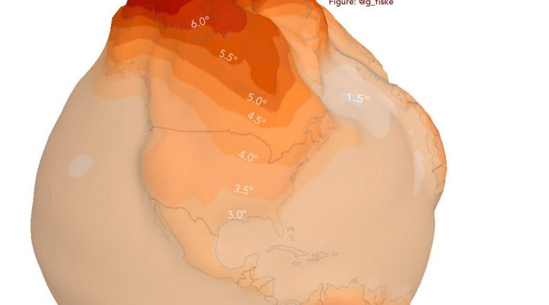
Many of the world’s cities will face sharply different climates by 2050. I tried to visualize how climate change will affect 6,000 world cities. London could feel as hot as Paris by 2050, with Paris’s climate more like San Francisco. San Francisco feels like Melbourne and New York City like Bologna (Italy). The climate of Moscow will be similar to that of Boston.

Read more: How hot cities could be in 2050