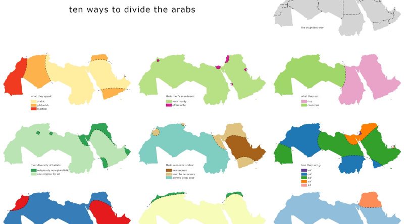
Tearing Arab World apart
The Arab World consists of the 22 Arab nations: Algeria, Bahrain, the Comoros Islands, Djibouti, Egypt, Iraq, Jordan, Kuwait, Lebanon, Libya, Morocco, Mauritania, Oman, Palestine, Qatar, Saudi Arabia, Somalia, Sudan, Syria, Tunisia, United Arab Emirates, and Yemen). It combines a population of around 423 mln people. The preponderance religion is Islam.
Read More