Skip to content
VividMaps

  • Atlases
  • Map Posters
  • Scratch Maps
  • Globes
  • Videos
A modern satirical map of Europe
Humor
July 5, 2018 Alex

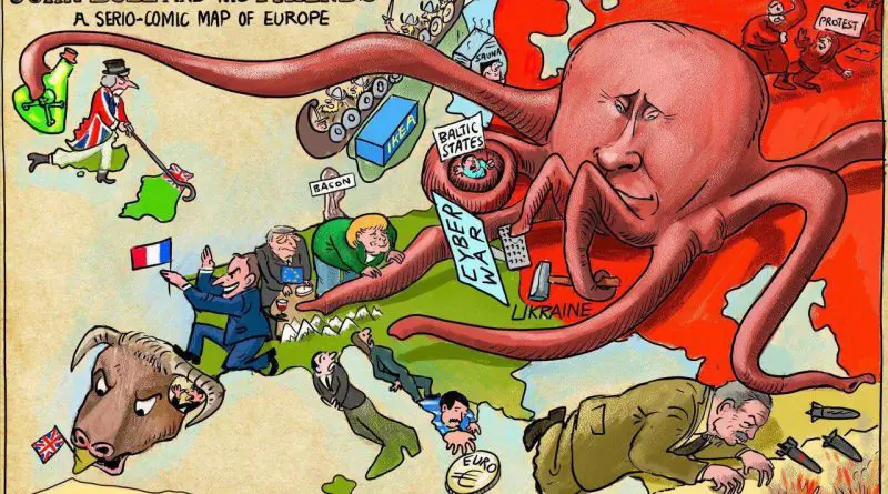
How Cartoonists Used the Octopus to Show Russian Power: Comparing Maps 140 Years Apart

From Victorian-era political satire to modern geopolitical commentary, see how two maps separated by 140 years use surprisingly similar imagery to portray Russia’s influence in Europe.

Read more: How Cartoonists Used the Octopus to Show Russian Power: Comparing Maps 140 Years Apart →
US immigrants
Immigration
July 5, 2018 Alex

How US Immigration Patterns Shaped America: Two Centuries of Change

Through compelling maps and data, this article traces the dramatic shifts in US immigration patterns from the 1800s to today. See how waves of newcomers from different parts of the world shaped America’s population and continue to transform it in the 21st century.

Read more: How US Immigration Patterns Shaped America: Two Centuries of Change →
The Highest-Paying Companies in Every State
BusinessEconomic maps
July 4, 2018 Alex

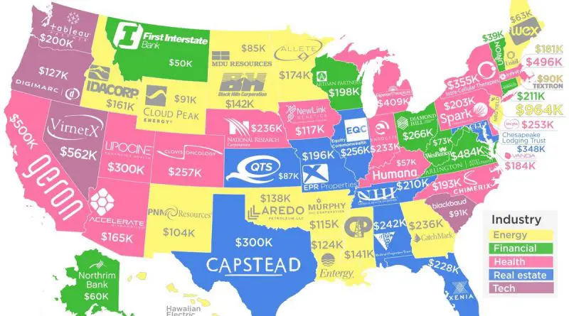
Which Companies Pay Their Workers the Most? A State-by-State Look at America’s Top Employers

New SEC regulations have revealed surprising data about employee compensation across America. Find out which companies pay their workers the most in your state, with median salaries ranging from $39,000 to nearly $1 million.

Read more: Which Companies Pay Their Workers the Most? A State-by-State Look at America’s Top Employers →
The Best Funded Startup in Each U.S. State
BusinessEconomic maps
July 3, 2018 Alex

The Evolution of Tech Startups Across America: A State-by-State Analysis

An in-depth look at America’s tech startup ecosystem, revealing how venture capital and tech talent distribute across different states, with surprising leaders emerging beyond Silicon Valley.

Read more: The Evolution of Tech Startups Across America: A State-by-State Analysis →
The Growth of the US Interstate Highway System
Interactive mapsTransport
July 3, 2018 Alex

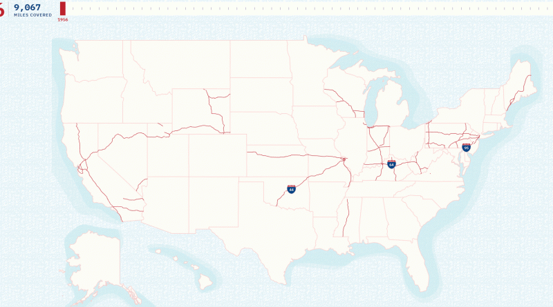
The Evolution of the U.S. Interstate Highway System: A Network That Shaped America

President Eisenhower’s ambitious 1956 highway project revolutionized American transportation, growing from initial plans for 41,000 miles to today’s extensive 49,055-mile network. Through historic maps and modern visualizations, we trace this remarkable transformation.

Read more: The Evolution of the U.S. Interstate Highway System: A Network That Shaped America →
Most consumed type of meat or fish by country
Food
July 1, 2018 Alex

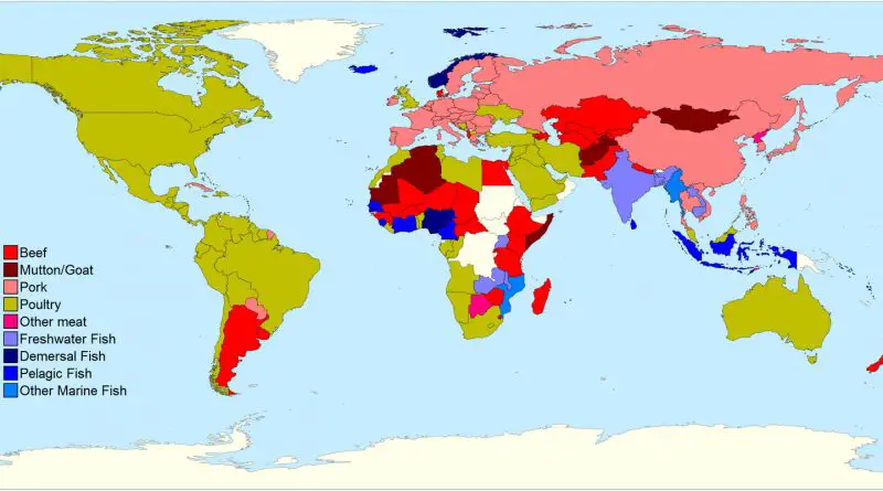
Most consumed type of meat (or fish) by country

Different cultures have distinct preferences when it comes to meat consumption. While Europeans favor pork and Americans prefer chicken, coastal nations often lead in fish consumption. This comprehensive analysis reveals the fascinating patterns of global meat preferences and their cultural significance.

Read more: Most consumed type of meat (or fish) by country →
Owners vs Renters
Interactive mapsReal estate
June 29, 2018 Alex

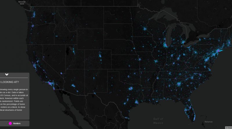
Every Home Owner and Renter in the U.S.: A Dot-by-Dot View of American Housing

A detailed look at America’s housing landscape through an innovative dot map that reveals surprising patterns of homeownership versus renting across major cities and rural areas.

Read more: Every Home Owner and Renter in the U.S.: A Dot-by-Dot View of American Housing →
Great Britain's Islands larger than 5 km2
Size comparison maps
June 28, 2018 Alex

Great Britain’s Islands Mapped larger than 5 km2

Great Britain, comprising the main islands of England, Scotland, and Wales, is a geographically and culturally diverse archipelago located in the North Atlantic Ocean, forming the core of the British Isles. These islands are steeped in history and have a rich tapestry of landscapes, traditions, and heritage.

Read more: Great Britain’s Islands Mapped larger than 5 km2 →
A map of the distance WW2 fighters can fly from the UK mainland
Historical Maps
June 28, 2018 Alex

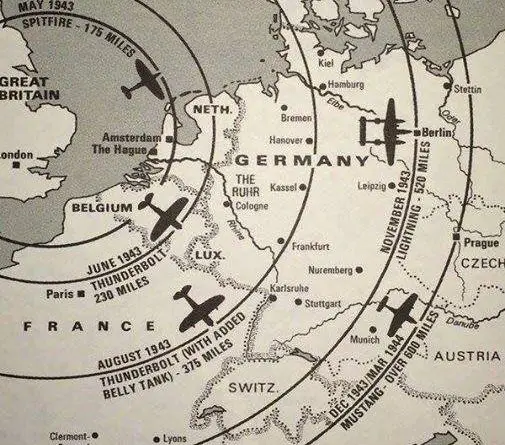
The distance WWII fighters can fly from the United Kingdom mainland

The range of fighter aircraft in WWII wasn’t just about numbers on a map – it determined the course of the air war. From the Spitfire’s defensive perimeter to the Mustang’s deep strikes, each aircraft’s range shaped Allied strategy.

Read more: The distance WWII fighters can fly from the United Kingdom mainland →
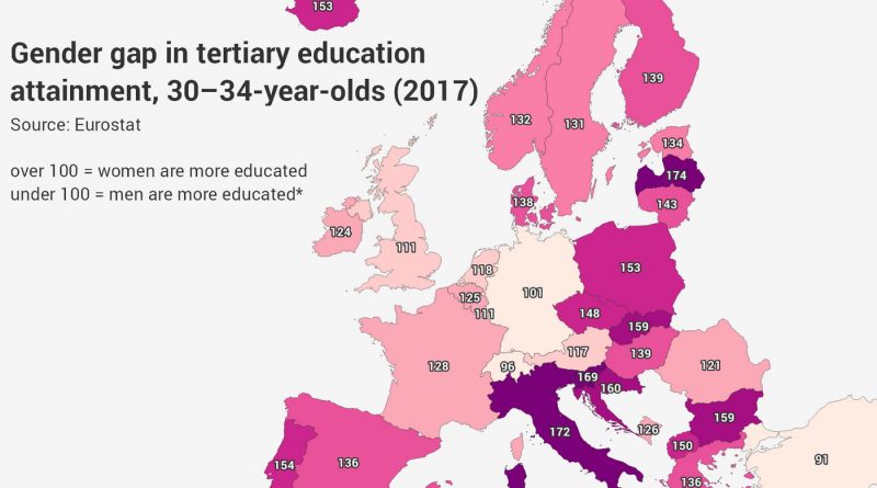
Gender gap in higher education attainment in Europe
Education
June 26, 2018 Alex

The Growing Gender Gap in European Higher Education: A Regional Analysis

An in-depth analysis of the gender gap in European higher education, showing how women are increasingly outpacing men in university completion rates across most regions, with notable geographical variations.

Read more: The Growing Gender Gap in European Higher Education: A Regional Analysis →
Map of the square and stationary Earth
Old maps
June 24, 2018 Alex

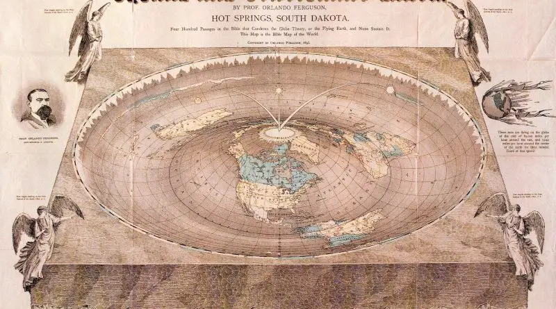
Map of the Square and Stationary Earth

A deep look at Professor Orlando Ferguson’s 1893 Biblical flat Earth map and the ongoing debate between scientific consensus and flat Earth beliefs in modern times.

Read more: Map of the Square and Stationary Earth →
EnergyWater
June 24, 2018 Alex

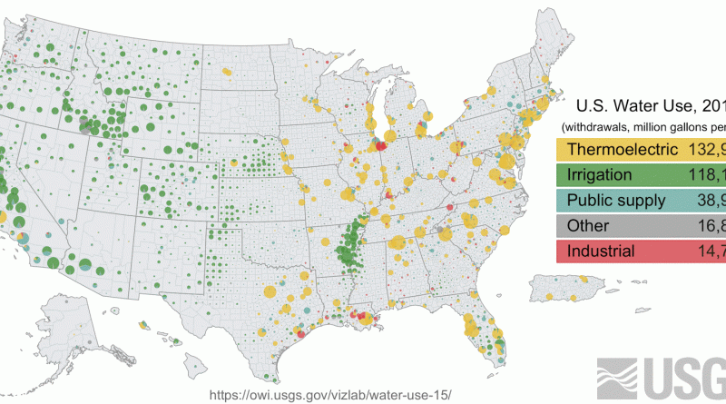
What’s Your U.S. County’s Water Use? Understanding America’s Water Consumption Patterns

detailed look at water usage patterns across U.S. counties, revealing how different regions rely on water resources for power generation, farming, and daily life. Based on USGS data, this analysis shows where and how Americans use their water.

Read more: What’s Your U.S. County’s Water Use? Understanding America’s Water Consumption Patterns →
States and territories of the United States of America
Historical Maps
June 22, 2018 Alex

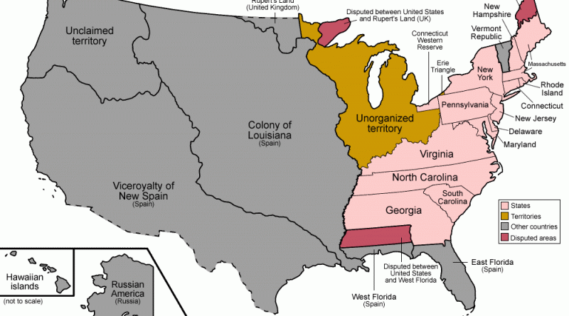
Map of the United States: A Historical Evolution from Colonial Times to Today

Witness the dramatic expansion of the United States through carefully curated historical maps, showing how thirteen colonies grew into a continental nation spanning from the Atlantic to the Pacific.

Read more: Map of the United States: A Historical Evolution from Colonial Times to Today →
Page 82 of 521« First«...787980818283848586...»Last »

Trending now

  • Human races of the 19th century
    How Has Our View of Human Diversity Changed Since the 19th Century?Oct 22, 2017
  • Most popular social network
    Most Popular Social App by U.S. StateAug 9, 2019
  • Map of Africa river basins
    River basins of AfricaOct 21, 2016

Related Products

  • Push pin maps
  • Globe drinks cabinets
  • Maps of the United States
  • Board games
  • Monopoly
  • Map-based strategy board games
  • History Board Games
  • Coloring Books
  • Handheld GPS
  • GPS Watches
  • GPS Trackers

Vivid Maps Tools

  • Convert Latitude/Longitude
  • Elevation Finder
  • Distance Calculator
  • Kilometers to Miles Distance & Length Converter
  • Weight Converter
  • Volume Converter
  • Daylight Comparison
  • Time Zone Converter
  • Antipodes Map
  • Find cities with a similar climate
  • Find cities with a similar climate (2050)
  • How hot cities could be in 2050
  • The U.S. Population Lines

Stay connected

Get the latest maps, insights and updates delivered to your inbox.

Unsubscribe anytime.

VividMaps

Maps that explain the world.

Beautiful, data-rich maps to help you understand our world — its people, places and connections.

Explore

World map World atlas Map posters Globes

Company

About Privacy Contact

Stay connected

Follow us for the latest maps, insights and updates.

Independent WebsiteVirusScanner trust report for vividmaps.com
© 2026 Vivid Maps. All rights reserved.
A more connected world