New York City metropolitan area drawn only from roads
Related posts: – New York’s Subway Deserts – New York City boroughs journey to work-driving ca alone vs. walk/public transportation
Read More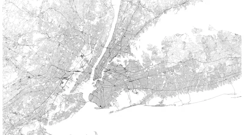
Related posts: – New York’s Subway Deserts – New York City boroughs journey to work-driving ca alone vs. walk/public transportation
Read More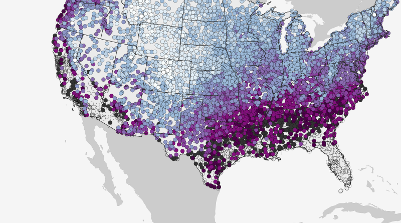
This map shows the historic date by which there’s a 50% chance of at least 0.1” of snow on the
Read MoreThe Grub Street Project is a digital edition of eighteenth-century London. By mapping its print culture, literature, and trades, it
Read MoreVia sheffield.ac.uk
Read MoreThe $50.1 billion proposed foreign-aid budget for 2017. Unites States humanitarian aid United States military aid Via washingtonpost.com Related post:
Read MoreUnited Kingdom average Rate: 47.9 % Highest: Knowsley (74.8%) Lowest: Harrow(20.3%)
Read MoreHow far could you theoretically see from the top of Mount Everest in a perfectly clear weather, with perfect vision
Read MoreThe Survey of London provides essential reading for anyone wishing to find out about the capital’s built environment. It is
Read MoreYearly income after taxes adjusted according to differences in price levels in different countries.
Read More