White Vote in the 2016 U.S. Election
Via deviantart.net Related posts: – 3D map of county-level election results – Geographically approximate, population-normalized 2016 voting results using congressional
Read More
Maps of the US
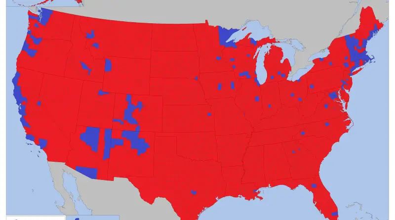
Via deviantart.net Related posts: – 3D map of county-level election results – Geographically approximate, population-normalized 2016 voting results using congressional
Read MoreVia fakeisthenewreal.org
Read More
Related post: – United States Old Maps
Read More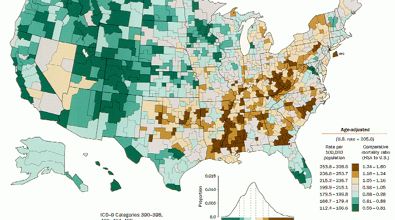
Related posts: – White Non-Hispanic population percentage by county – Obesity prevalence in the United States
Read More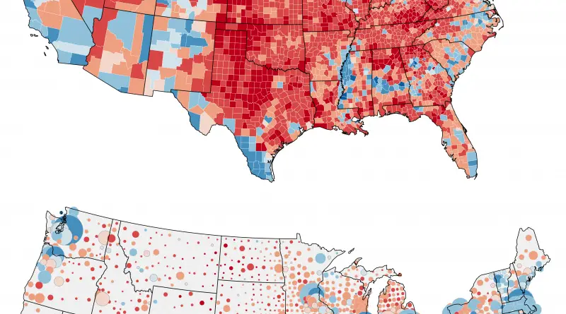
Related posts: – Change in margin between 2004 & 2016 elections – The power of small U.S. states – 3D
Read MoreUnited States Presidential Election 2016 (County-Level Results) The winner of each county and his/her margin of victory is represented by
Read More
RenascentMan Methodology: Take the number of districts (2 fewer than the number of electors). Based on the reported vote percentages
Read MoreCurrently, the allocations of Electoral Votes are based on the 2010 Census. They are valid for the 2012, 2016, and 2020 presidential elections (Total Electoral Votes: 538; Electoral Votes needed to win 270). California has the most electoral seats (55) of any U.S. state, while Texas places 2nd with 38 seats. New York and Florida each have 29 seats, while Pennsylvania and Illinois have 20 seats per state.
Read More