US states without a river forming part of their borders
“Landlocked:” the U.S. States without a coast or navigable inland waterway US states without a river forming part of their
Read More
Maps of the US
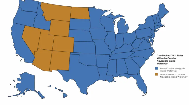
“Landlocked:” the U.S. States without a coast or navigable inland waterway US states without a river forming part of their
Read More
Citizens Housing & Planning Council (CHPC) has undertaken an analysis of New York City’s people and housing to reveal changes
Read More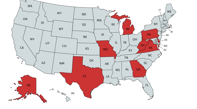
Map created with mapchart.net
Read MoreBeer vs Wine per capita spending by U.S. county The map below created by AdventuresinMapping shows bears and wine per
Read More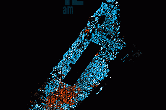
The Population of Manhattan, Hour-by-Hour Comparing the population of the Manhattan and Dakotas Related posts:– New York City Subway stations renamed
Read More
Lightning – Countries which were banned due to President Trump’s executive order. Map created with Mapchart.net
Read MoreGive road-weary eyes a break with this spiral-bound Large Scale edition featuring all the accuracy you’ve come to expect from
Read More
The U.S. Office of Management and Budget determines a Metropolitan Area as one or more neighboring counties, or county-equivalents, that have at least one city no less 50 thousand population, and nearby territory that has a high level of economic and social integration with the core city as estimated by the commuting link. In the U.S. is 392 such metropolitan areas.
Read More