
Cities
Melbourne: How safe do you feel walking?
Melbourne is striving to become a world-class liveable city. Great cities are great places to walk around. Are there road
Read more: Melbourne: How safe do you feel walking?Educational Attainment in America
New York City 1 dot = approximately 25 people age 25+ Los Angeles 1 dot = approximately 25 people age
Read more: Educational Attainment in AmericaDensity comparison of six american metropolises
Based on 2010 Census population data by census block. Census Blocks with Population < 10 are not included. Other urbanized
Read more: Density comparison of six american metropolisesMapping rural-to-urban migration
Rural populations will have reached their absolute high in 2022 with approximately 3.38 billion people. This is only slightly up
Read more: Mapping rural-to-urban migrationThe megaregions of the United States
What if we drew the map of the United States based on how people actually live? Dr. Alasdair Rae and his co-author Dr. Garrett Nelson have developed an empirical approach to identify megaregions using a dataset of more than 4 million ‘commuter flows’ involving the travel to work patterns of 130 million Americans.
Read more: The megaregions of the United States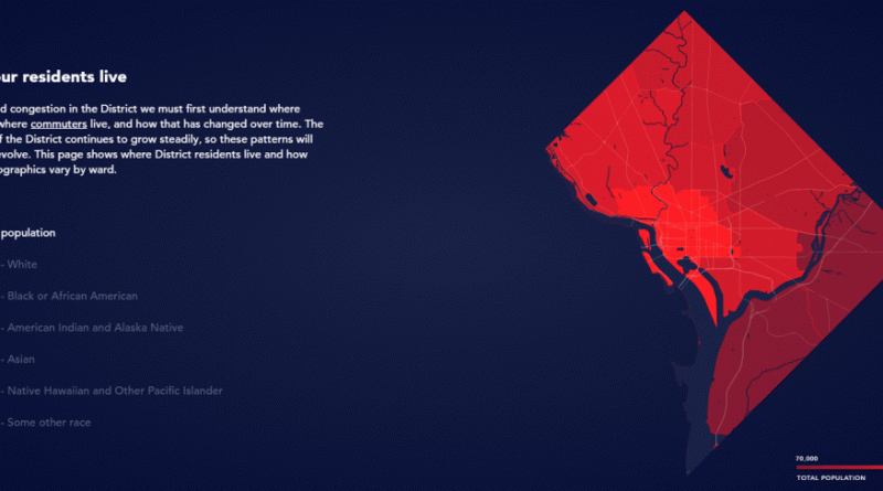
District Mobility: Multimodal Transportation in the District
District Mobility is a tool to visualize multimodal transportation system performance within the District of Columbia as a part of
Read more: District Mobility: Multimodal Transportation in the District
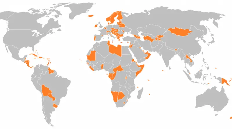
Countries with a smaller population than the city of São Paulo (Brazil)
Related post: – Brazilian states with a smaller population than São Paulo
Read more: Countries with a smaller population than the city of São Paulo (Brazil)
The megacity economy: seven types of global cities
In 1959, only 30% of the world’s population lived in cities. A century later, that will be flipped. By 2050,
Read more: The megacity economy: seven types of global cities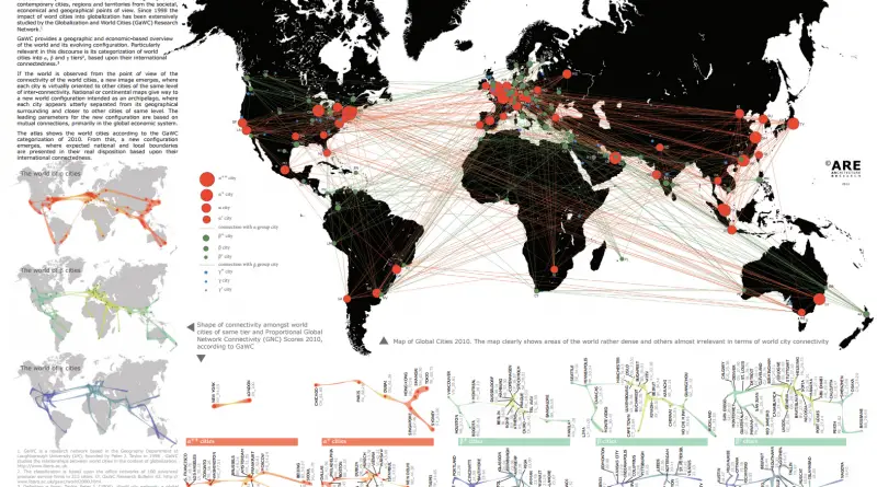
Map of the Global Cities index
Global developments have had an increasing impact on contemporary cities, regions, and territories from societal, economic, and geographical perspectives. Since
Read more: Map of the Global Cities index
Map of America’s 50 Largest Metropolitan Areas by Populations
The U.S. Office of Management and Budget determines a Metropolitan Area as one or more neighboring counties, or county-equivalents, that have at least one city no less 50 thousand population, and nearby territory that has a high level of economic and social integration with the core city as estimated by the commuting link. In the U.S. is 392 such metropolitan areas.
Read more: Map of America’s 50 Largest Metropolitan Areas by Populations