European countries overlaid on areas of the Americas with equal population
Reddit user: Speech500 Related post: – U.S. states overlaid on areas of Europe with equal population
Read More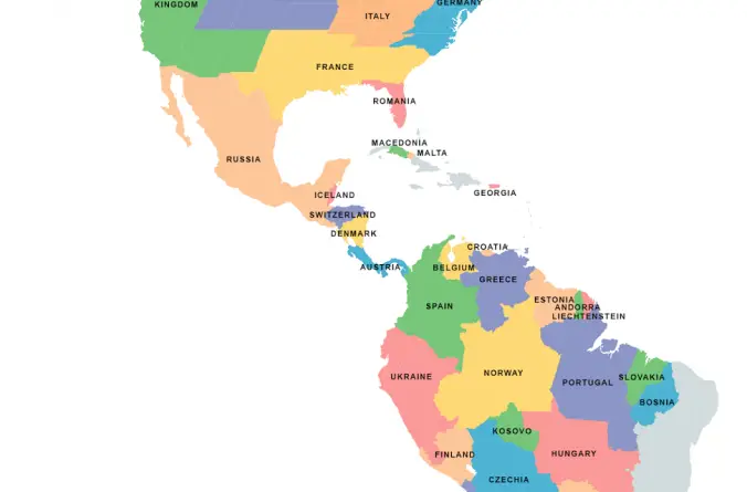
Reddit user: Speech500 Related post: – U.S. states overlaid on areas of Europe with equal population
Read More917 hate groups are currently operating in the United States. Track them below with Hate Map.
Read MorePicture: Reddit CopperWalrus
Read MoreWhat if we drew the map of the United States based on how people actually live? Dr. Alasdair Rae and his co-author Dr. Garrett Nelson have developed an empirical approach to identify megaregions using a dataset of more than 4 million ‘commuter flows’ involving the travel to work patterns of 130 million Americans.
Read More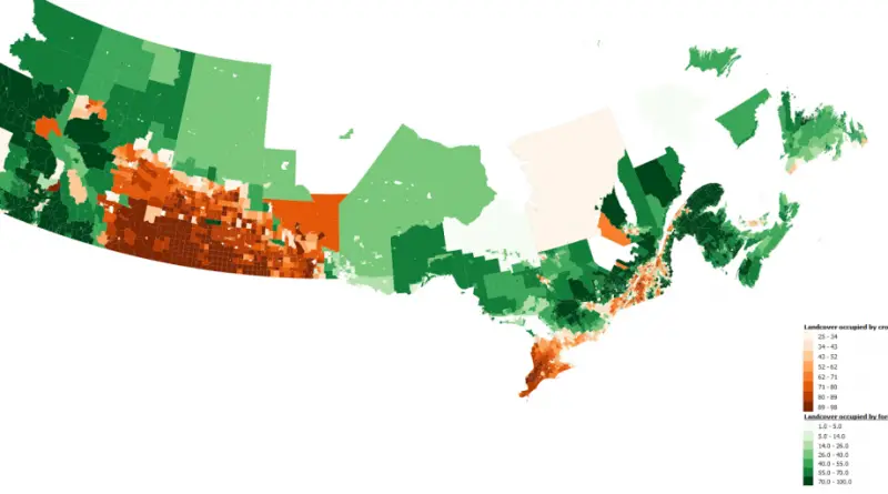
Reddit user: trash_dumpyard
Read MoreReddit user: Speech500
Read More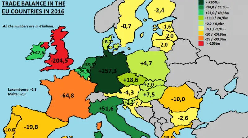
Reddit user: Larelli Source: europe.eu
Read More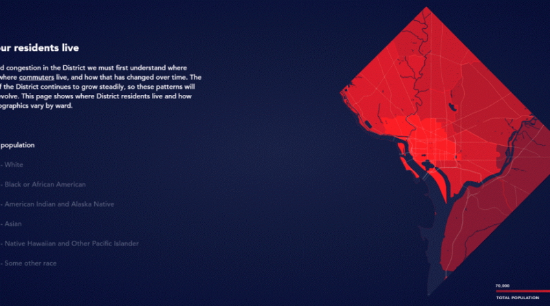
District Mobility is a tool to visualize multimodal transportation system performance within the District of Columbia as a part of
Read More