(Is there) Life on Mars?
Is there life on Mars? It depends how you interpret the question. The chances of anything coming from Mars are
Read MoreIs there life on Mars? It depends how you interpret the question. The chances of anything coming from Mars are
Read More
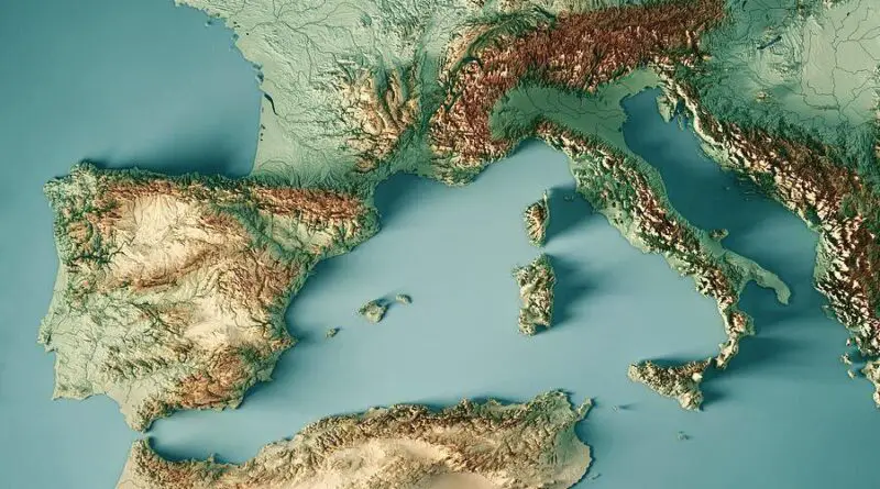
In terms of shape, Europe is an assemblage of connected peninsulas and nearby islands. There are two largest peninsulas in Europe: mainland Europe and Scandinavia to the north, separated by the Baltic Sea. Three smaller peninsulas – Italy, Iberia, and the Balkans – emerge from the southern edge of the mainland.
Read MoreTopics and places the world is reporting on right now. Explore what shapes our different perspectives.
Read More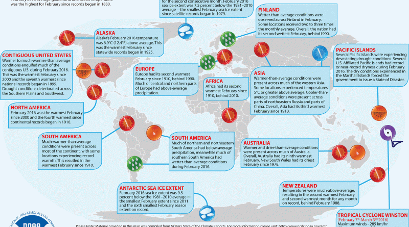
GLOBAL AVERAGE TEMPERATURE February 2016 average global land and ocean temperature was the highest for February since records began in
Read MoreFootballers and hip-hop artists are the most popular people googled in Africa, this according to data provided to TIME by
Read More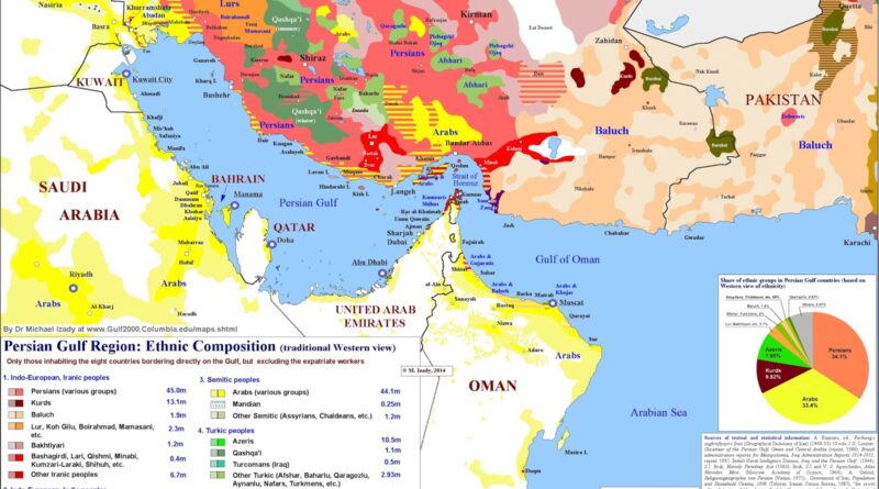
The Gulf region is more than oil and shipping lanes. It’s an arena of ethnic diversity. Using Dr. Michael Izady’s Gulf/2000 map, we explore how Persians, Arabs, Kurds, Azeris, and others share the coastline.
Read More