Animated history of US county boundaries
Thirty-second animation of the changes in United States historical county boundaries (1629 – 2000). Historical state and territorial boundaries are
Read MoreThirty-second animation of the changes in United States historical county boundaries (1629 – 2000). Historical state and territorial boundaries are
Read More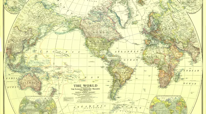
The zenith of western imperialism. Political map of 1922 The British Empire was at its peak The largest and most
Read MoreClick on the map to define the origin and destination of your trip. In addition to the shortest route, two
Read MoreGlobal Peace Index measures the relative position of nations and regions peacefulness. The Global Peace Index gauges global peace using
Read More1. FAR NORTH! Geography: Larger than Utah, Indiana, and Maryland combined. Or a bit larger than Germany. Mostly uninhabited tundra,
Read MoreGreenberg’s Diversity Index is the probability that two people selected from the population at random will have different languages. Index
Read More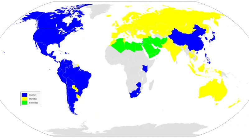
Around half of the world’s population begins its week on Sunday. Monday is the first day of the week for the other half. Almost all countries in the Americas start their week on Sunday, while countries in Europe and Oceania overwhelmingly begin on Monday.
Read MoreFigures rounded to the nearest ten thousand. The map below represents 6.3 million deaths. India has the highest number of
Read MoreWincenty Okołowicz was a Polish geographer and climatologist. He is best known as the author of the World’s climatic zones
Read MoreThe highest men live in Montenegro, with an average height for males of nearly 183.2 cm (6.01 ft). The lowest
Read More