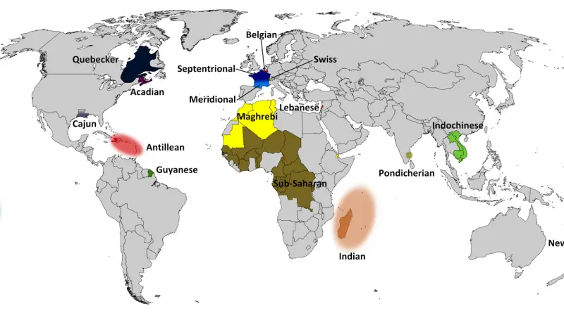
Maps of France

Collection of various maps of France. Physical, topographical, climatic, political, and other maps of France.

AgricultureMapping

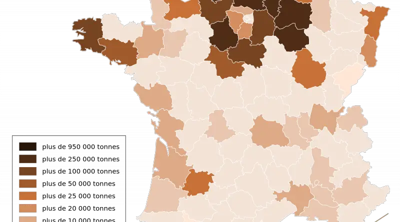
Agriculture in France mapped

there are almost half a million farms in metropolitan France and 25 thousand in overseas territories. It represents a utilized agricultural area of nearly thirty million ha, more than 50% of the French area. This territory is split into three significant crops: 63 percent of cropland (cereal and forage crops mainly), 34 percent of grassland, and 3 percent of perennial crops, orchards, and vineyards.

Read more: Agriculture in France mapped
Economic maps

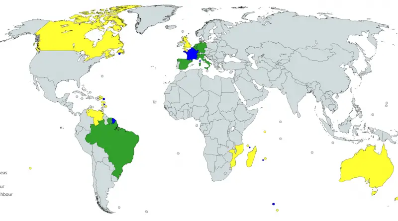
French-foreign trade in maps

France is one of the significant agricultural powers, with about 25 percent of the whole farming products of the European Union being produced there. The contribution of the farming sector to the country’s gross domestic product (GDP) is about 2.5 percent. The French government gives substantial support to its agricultural industry to continue growing and contributing to its GDP, which will more guarantee increased export activities.

Read more: French-foreign trade in maps