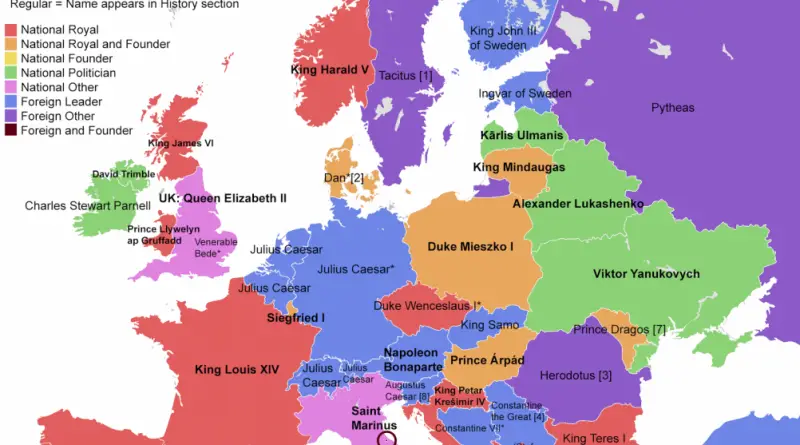
The First Person Named in a Country’s Wikipedia Page
Who comes first in a country’s Wikipedia intro – a legendary founder, a classical author, or a living politician?
Read more: The First Person Named in a Country’s Wikipedia PageWho comes first in a country’s Wikipedia intro – a legendary founder, a classical author, or a living politician?
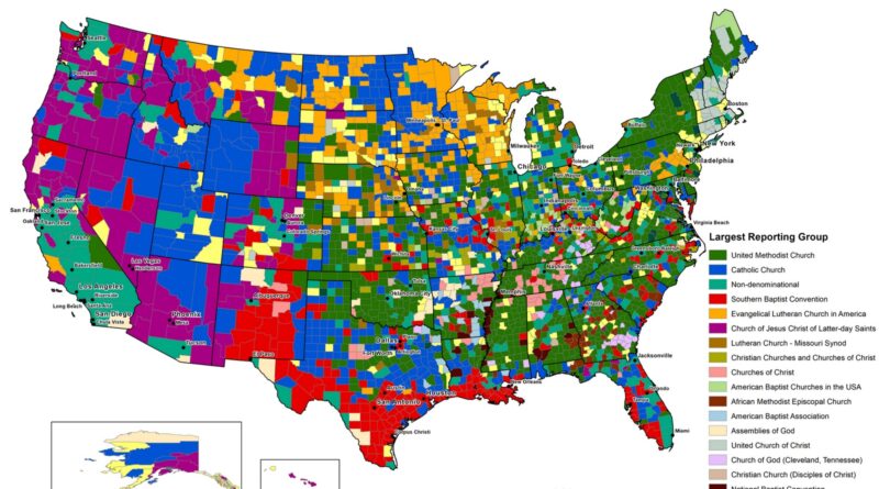
Read more: The First Person Named in a Country’s Wikipedia PageA look at the runner-up religious affiliations in each U.S. county, from Black Protestant churches in the South to Catholic and non-denominational growth in the West and cities, based on official census data.
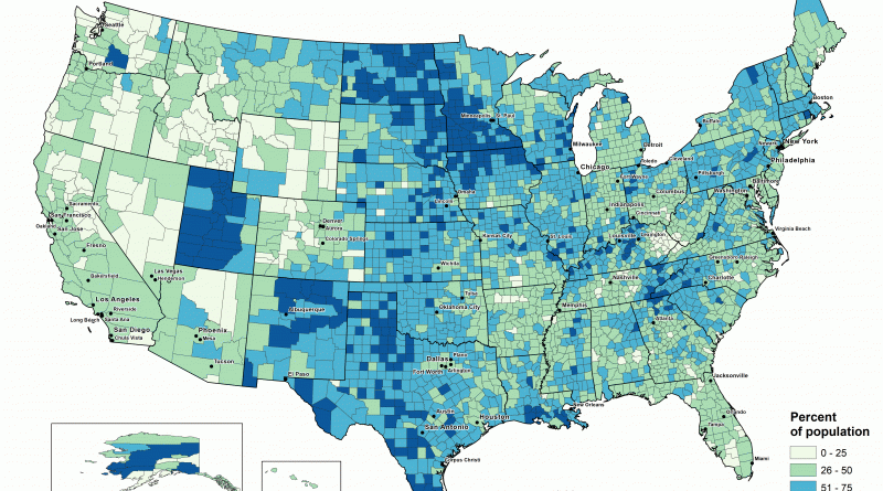
Read more: The Second-Largest Religious Group in Every U.S. CountyTop 20 maps on various topics, from climate to politics, that were popular in 2017.
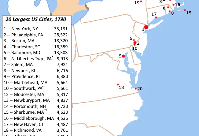
Read more: Top 20 Best Maps of 2017Most of America’s biggest cities in 1790 were coastal New England ports – all built around fishing, shipping, and trade.
Read more: America’s Biggest Towns in 1790Mexico is a nation in the southern part of North America. The country is bordered to the north by the U.S., to the southeast by Belize and Guatemala, Belize. Mexico covers almost 2 million square kilometers (~762 thousand sq mi). It has nearly 130 million residents, making it the thirteenth largest nation by area, tenth-most-populous nation, and most populated Spanish-speaking country. It is a federation including 31 states and Mexico City.
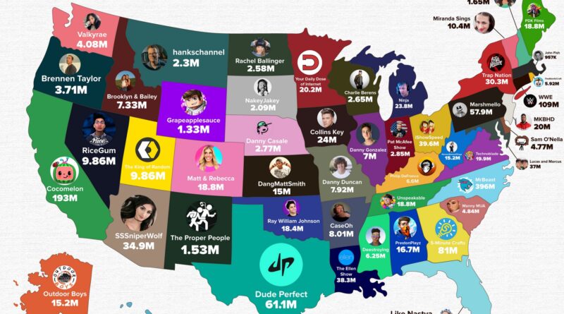
Read more: Stereotype maps of MexicoDiscover which YouTube channel leads in each U.S. state in 2025. The map shows where America’s biggest creators—from MrBeast in North Carolina to Cocomelon in California—have built their massive followings.
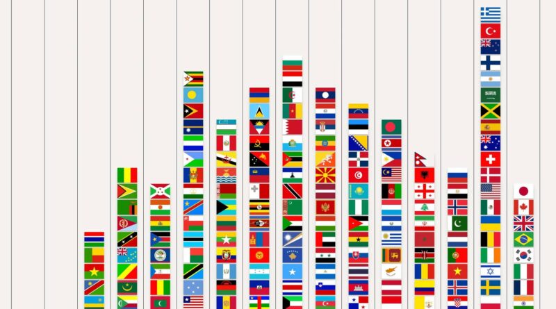
Read more: The Most Subscribed YouTube Channel in Every U.S. StateFlag recognition rankings from a public survey and the leading countries people identify most often.
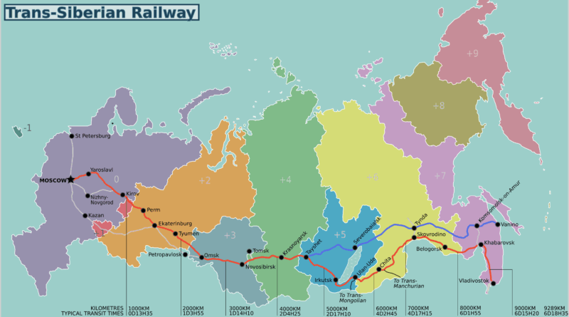
Read more: Which National Flags Do People Recognize MostRussia’s Trans-Siberian Railway stretches 9,289 kilometres (5,772 miles) from Moscow to Vladivostok, crossing eight time zones and some of the planet’s most remote terrain.
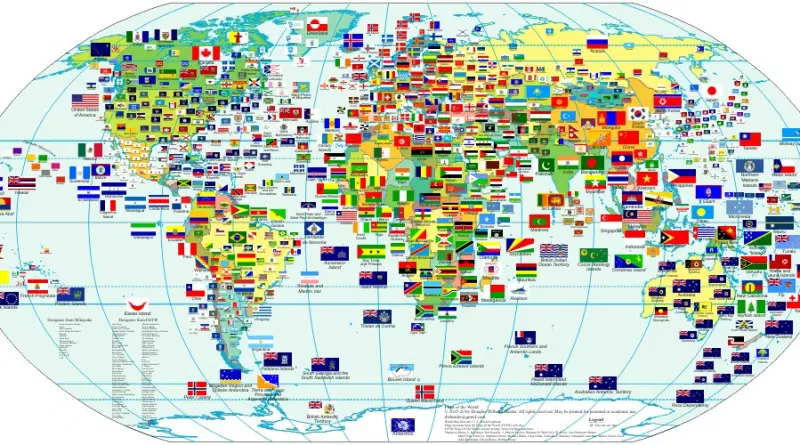
Read more: Trans-Siberian Railway developmentFlag map grouped into nine regional families with country lists, main colors and common design elements.
Read more: The Uniqueness of Flags VisualizedWallingford made New York visually dominant to show how the city functioned as the country’s economic, cultural, and social hub for its residents in the 1930s.
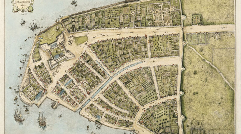
Read more: A New Yorker’s Idea of the United States of AmericaManhattan below City Hall is 50% larger than in the 1620s. Maps show the Heere Gracht canal (1626-1676), English water lots that added 500 acres by 1776, Castle Clinton built 300 feet offshore in 1808, Egbert Viele’s 1865 map showing landfill extent, Battery Park City’s 92 acres from World Trade Center excavation (1968-1976), and T. Kennard Thomson’s 1911 plan to dam the East River.
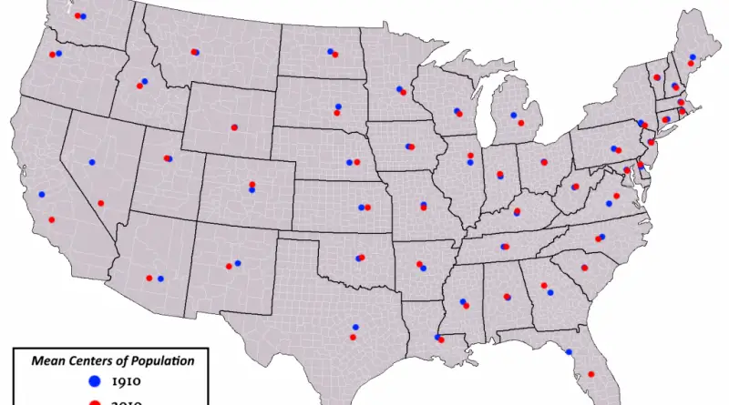
Read more: The Changing Shoreline of New York CityMost U.S. states have seen their population centers shift over the past century. California’s center is now closer to its southern coast and Bay Area than it was in the 1900s. Texas moved southeast as its big cities expanded. Florida’s center went south down the peninsula. Arizona’s shifted toward Phoenix. New Mexico’s moved toward Albuquerque. A handful of states like Wyoming, Vermont, and Rhode Island have barely budged from where they started.
Read more: How U.S. State Population Centers Shifted Over a CenturyReddit user: Shitmemery Only four states haven’t elected a Democrat in the last ~40 years: -The most recent Democrat to
Read more: The last time a stated voted for a Democratic candidate for U.S. senate