
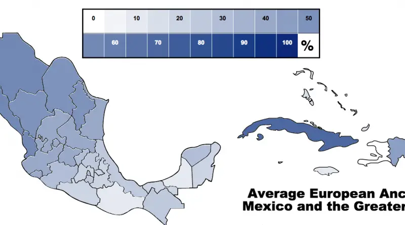
U.S.- Mexico border from west to east
The U.S.-Mexico boundary stretched from the Gulf of Mexico in the east to the Pacific Ocean in the west. It is the most frequently passed boundary in the world, with around 350 million documented crossings yearly.
Read more: U.S.- Mexico border from west to east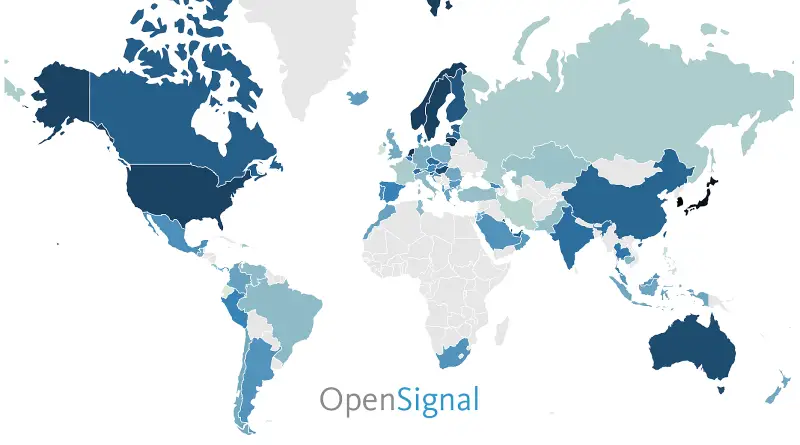
4G/LTE Availability (2016)
This map shows how consistently accessible 4G networks are in each country. Rather than measure geographic coverage, OpenSignal’s availability metric
Read more: 4G/LTE Availability (2016)
Most popular baby names by U.S. State
The most popular baby names in the United States 2019 were Olivia for girls and Liam for boys, but how does the popularity of names differ within U.S. states?
Read more: Most popular baby names by U.S. State
Population Density of Russia
The population density in Russia is just 8.4 per sq. km (22 people per sq. mi). The population is most dense in the European part of the country, with a milder climate, centering on Moscow and Saint Petersburg.
Read more: Population Density of RussiaAmericas (1492 – 2015): Every Year
Abbreviations: * = Dominion within the British Empire CR = Costa Rica Dom. Rep. = Dominican Republic FRCA = Federal
Read more: Americas (1492 – 2015): Every Year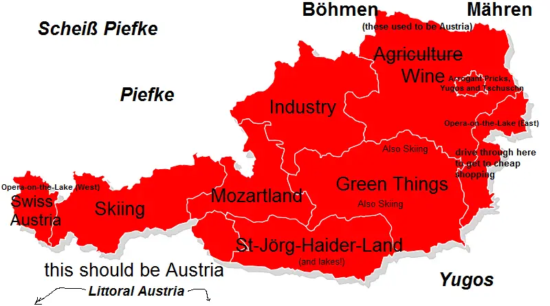
Austria stereotype maps
Austria is formed of nine federated states, Vienna, Austria’s capital and its most populous city. Seven of Austria’s 9 provinces have long historical traditions anteceding the Republic of Austria’s founding in 1918. The provinces of Burgenland and Vienna were organized after WWI. Most of Burgenland had been part of Hungary’s Kingdom, but it had a mainly German-speaking population and therefore became Austrian.
Read more: Austria stereotype maps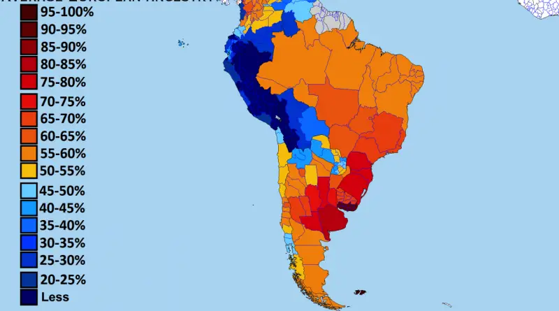
European ancestry in South America by subnational entities
Uruguay has a higher average European genetic ancestry than many countries in Europe itself, the result of centuries of European settlement followed by roughly 16 million immigrants arriving in Latin America in under 150 years.
Read more: European ancestry in South America by subnational entities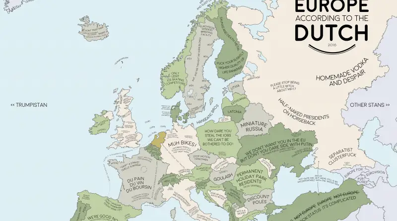
Europe according to the Dutch
The Dutch pioneered capitalism and influenced how the world thinks about free markets. But their view of Europe comes from more than economics. Distance feels different in a small country. Directness is normal. Everyone bikes everywhere. These stereotype maps capture how Dutch cultural traits shape perceptions of neighboring countries.
Read more: Europe according to the Dutch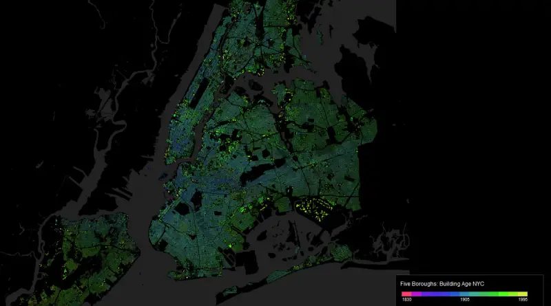
Building Age New York City
While New York City is known for its progressiveness and modernity, it is also a city of famous history and culture. When Manhattan was still New Amsterdam and its immigrant roots were starting, the concrete jungle that we know nowadays was a farmyard. The maps below shows the exact age of almost every building in Manhattan from 1719 to 2019, in one map.
Read more: Building Age New York CityGlobal Navigation Satellite Systems availability
The maximum possible number of navigation satellites (GPS + GLONASS) which can be “seen” from every point on Earth on
Read more: Global Navigation Satellite Systems availability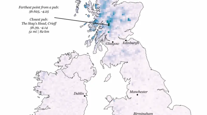
~50,000 odd pub locations in Great Britain
Walking distance to the nearest pub
Read more: ~50,000 odd pub locations in Great Britain