Fictional MapsNewsPhysical mapsVivid maps

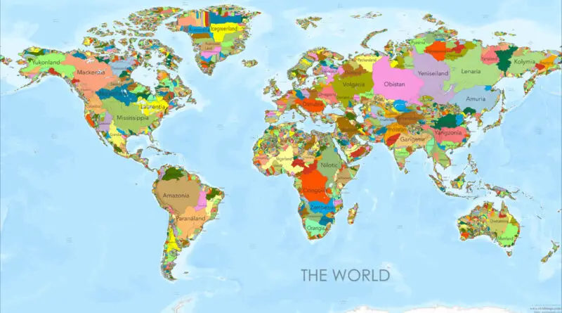
River Basins as Countries: A New World Map

I’ve spent years drawing maps and staring at political boundaries, always wondering: what if we threw out those arbitrary lines and started over? What if, instead of following the legacy of colonial empires and ancient wars, our borders traced something more fundamental—the flow of water itself? That question led me to create a series of world maps that reimagine our planet as a collection of river basins, each “country” following the natural watershed of a major river system.

Read more: River Basins as Countries: A New World Map
Historical MapsTravel maps

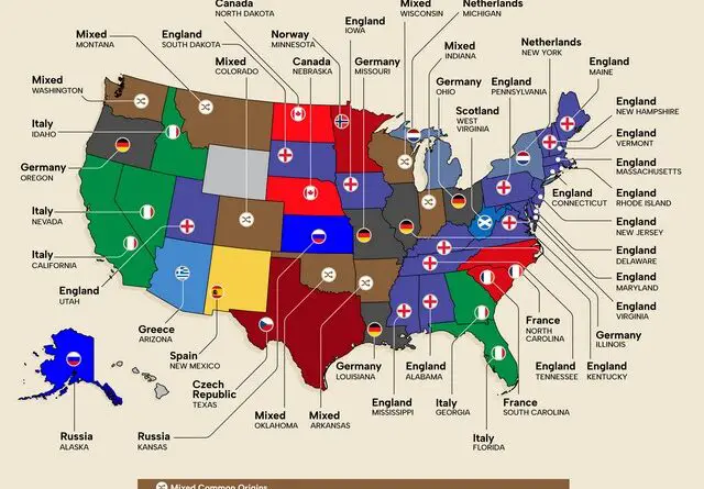
Exploring the Global Origins of U.S. Town Names

The United States is dotted with towns named after faraway places, reflecting its immigrant heritage. From England to Germany, and even the Czech Republic and Greece, these place names tell stories of settlers who brought pieces of their homeland to America. Explore how these “sequel” towns have evolved into unique communities with global connections.

Read more: Exploring the Global Origins of U.S. Town Names
Political maps

The Greater Idaho Movement: Redrawing the United States Map?

The Greater Idaho movement is challenging our perception of state boundaries on the United States map. Several eastern Oregon counties have voted to leave the state and join Idaho, highlighting complex cultural and political divides. This post explores the reasons behind this movement, its potential impact, and what it reveals about America’s diverse geographic landscape.

Read more: The Greater Idaho Movement: Redrawing the United States Map?