The World According to Herodotus BCE 450
Via Wikipedia
Read MoreVia Wikipedia
Read MoreEvery Country’s Biggest Import – 97 of 187 countries – over half – import some kind of fuel more than
Read MoreRelated posts: – Old maps and views of 18th Century London – The Great Fire of London … London maps
Read More
Muslim prayer, known as Salah or Salat, is a pivotal spiritual practice within Islam. It stands as one of the Five Pillars of the faith, forming an integral part of Muslims’ daily lives. This ritualistic act of worship signifies a direct connection between the believers and Allah, fostering devotion and mindfulness.
Read More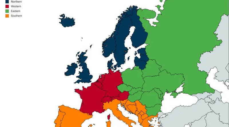
Reddit user: Juggertrout Blue seems to still be in the minority for the average European citizen, but it seems that
Read More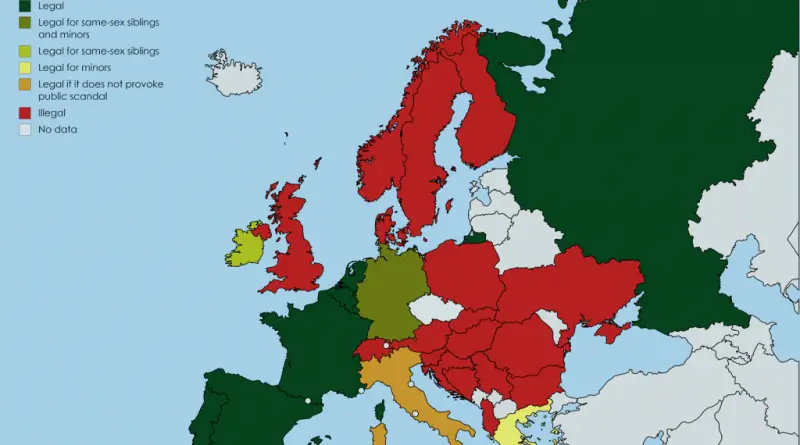
Reddit user: trinitronbx
Read MoreFacilities are often built for the “10-year” or 10% storm. Harvey has dropped a much larger amount of rain, comparable
Read More“ Reddit user: AJgloe Turks comes from the Central Asian steppes and are part of the Turkic language group, a language
Read More