The Rivers of the United States as a Subway Map
www.theodorerindos.com
Read More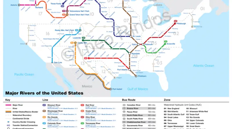
www.theodorerindos.com
Read More56,638 fast food shops in England, obtaining more than a quarter of all food outlets. The total number of fast
Read MoreSource: deviantart.net
Read More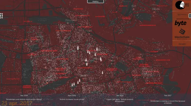
Every dot is the first time an apartment is rented out, with the name of the owner.
Read More
Reddit user: Chadarnook
Read More
UK population aged 65 and over local authority (1996 – 2036) UK population aged 85 and over by local authority
Read MoreJapanese map published early in the 19th century depicting an enormous archipelago representing Japan at the center of the world.
Read More
In 2020 total global wealth rose by 7.4%, and wealth per adult grew by 6% to reach another record high of 79,952$US. 2020 records the year when, for the first time, over 1% of all global adults are dollar millionaires. The global number of millionaires increased by 5.2 million to touch 56.1 million.
Read More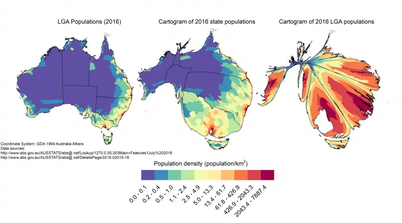
Australia’s population tells a compelling story of coastal congregation and inland space. With just 3 people per square kilometer, this vast continent demonstrates one of the world’s most striking examples of population concentration, as revealed through these fascinating maps and data.
Read More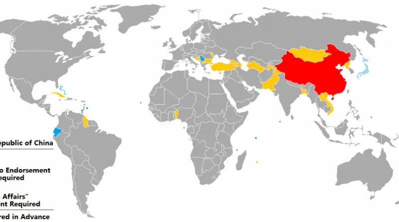
Source: wikipedia.org
Read More