
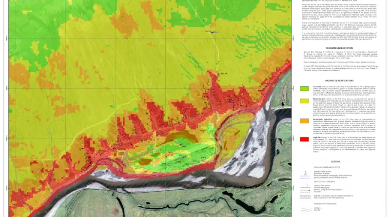
Old crow landscape hazard risk map of Yukon Communities
This map was produced for the purposes of landscape hazard assessment and climate change adaptation planning for the community of
Read more: Old crow landscape hazard risk map of Yukon CommunitiesAnimated map of unemployment in the U.S. (1990 – 2016)
Unemployment in the United States from 1990 thru July 2016.
Read more: Animated map of unemployment in the U.S. (1990 – 2016)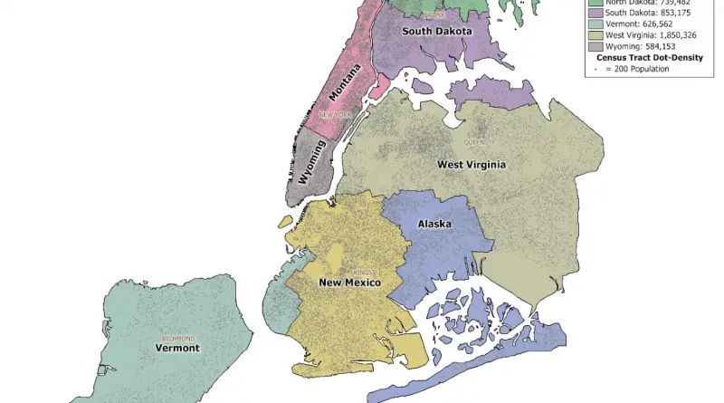
New York City Population Mapped
New York City is the most populous city in the U.S., with an approximated population of about 9 million spread over about 303 square miles (784 km2), accounting for over 40% of New York State’s population. New York City is the most densely populated city in the United States and the largest metropolitan area in the world by urban landmass. With nearly 20 million people in its metropolitan statistical area and about 24 million in its combined statistical area, it is one of the world’s most populous megacities.
Read more: New York City Population MappedHistory of the Italians: Every year
After the fall of the Ostrogothic Kingdom in 552, Italy is once again brought under imperical control. However, the situation
Read more: History of the Italians: Every yearWhy is Canada not part of the United States?
I’ve talked before about why New Zealand didn’t become a part of Australia despite the two nations sharing a history,
Read more: Why is Canada not part of the United States?Why did New Zealand didn’t become a part of Australia?
New Zealand and Australia were both colonized by the British, but they were separate endeavors. The colonization of New Zealand was more independent and distinct from that of Australia. Different British officials were responsible for the colonization of these 2 regions, resulting in separate governance structures.
Read more: Why did New Zealand didn’t become a part of Australia?
Hypothetical map of Europe if regional independence movements were to split European countries into smaller sovereign states
Imagine a Europe of microstates: Catalonia, Alba, Breizh, and beyond. This post explores regional independence movements and their potential to reshape Europe’s political map.
Read more: Hypothetical map of Europe if regional independence movements were to split European countries into smaller sovereign states