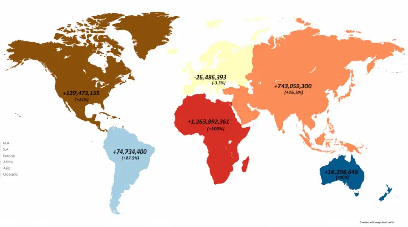
Comparison of the economy of London with the economies of other countries
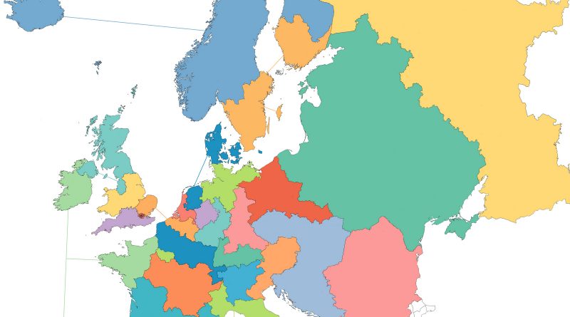
With approximately nine million residents in 2020, London is the most populated metropolitan area in Great Britain. London had the 5th biggest metro economy on the planet and the largest in Europe.
Read More