Vivid maps

ClimateClimate ChangeVivid maps

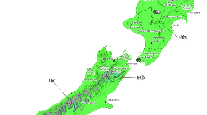
New Zealand’s Shrinking Cool Climates: Köppen-Geiger Maps from 1930 to 2099

Köppen-Geiger climate maps of New Zealand reveal mountain climate zones disappearing from 1930 to 2099. Cool-summer oceanic climate (Cfc) vanishes from North Island, tundra patches (ET) disappear from Southern Alps peaks, subarctic zones (Dfc) shrink dramatically, and cold steppe (BSk) contracts under ssp2-4.5 scenario.

Read more: New Zealand’s Shrinking Cool Climates: Köppen-Geiger Maps from 1930 to 2099
ClimateClimate ChangeVivid maps

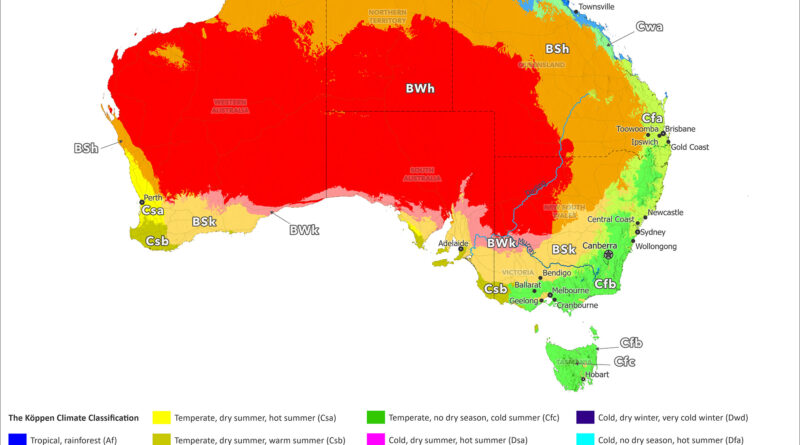
Australia’s Expanding Deserts: Climate Maps from 1930 to 2099

Köppen-Geiger climate maps of Australia reveal desert expansion from 1930 to 2099. Hot desert (BWh) and steppe (Bsh) zones spread hundreds of kilometers toward Sydney, Brisbane, Melbourne, and Perth. Habitable climate zones supporting population centers get compressed coastward under ssp2-4.5 scenario.

Read more: Australia’s Expanding Deserts: Climate Maps from 1930 to 2099
ClimateClimate ChangeNewsVivid maps

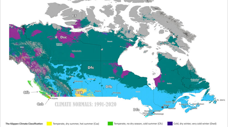
Canada’s Shifting Climate Zones: Köppen-Geiger Maps from 1930 to 2099
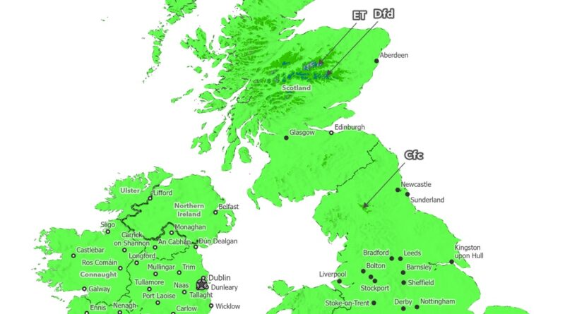
Köppen-Geiger climate maps of Canada reveal dramatic northward shifts from 1901-1930 to 2077-2099. Animated comparisons show tundra retreating to Arctic islands, subarctic zones moving hundreds of kilometers north, tree line advancing, and southern continental climates warming under the ssp2-4.5 scenario.

Read more: Canada’s Shifting Climate Zones: Köppen-Geiger Maps from 1930 to 2099
AgricultureNewsVivid maps

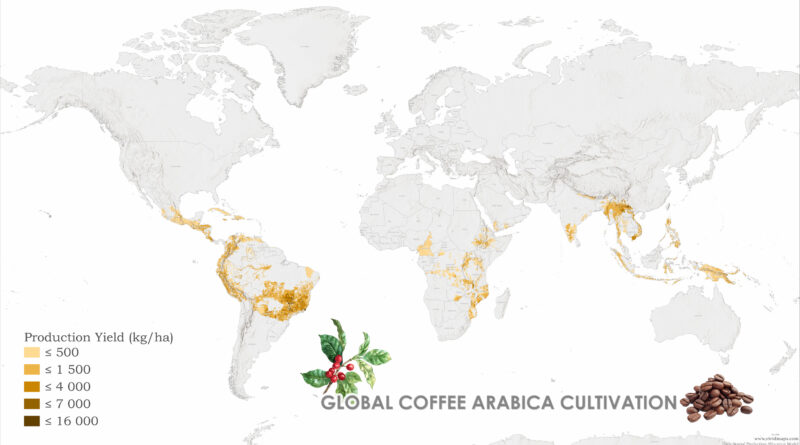
From Highland Peaks to Lowland Valleys: Mapping the World’s Coffee and Tea Territories

Ever wondered why your morning coffee tastes different from your afternoon tea? The answer lies in altitude, climate, and centuries of agricultural adaptation. Join me on a cartographic journey through the landscapes that bring these beloved beverages to your cup.

Read more: From Highland Peaks to Lowland Valleys: Mapping the World’s Coffee and Tea Territories