CitiesMapping Stereotypes

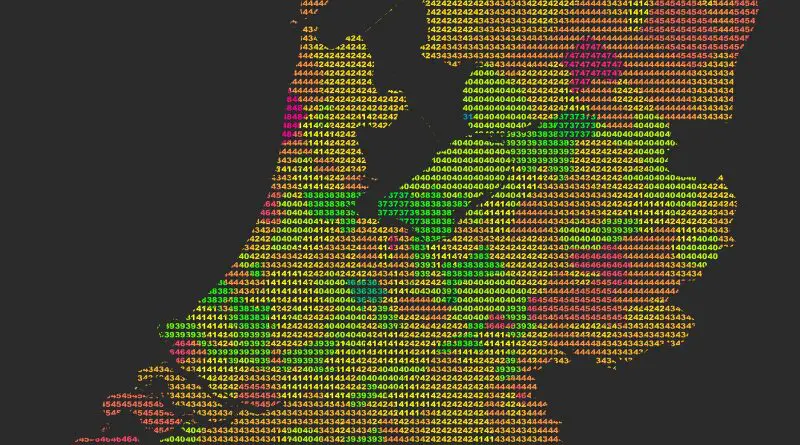
A Map of Every City

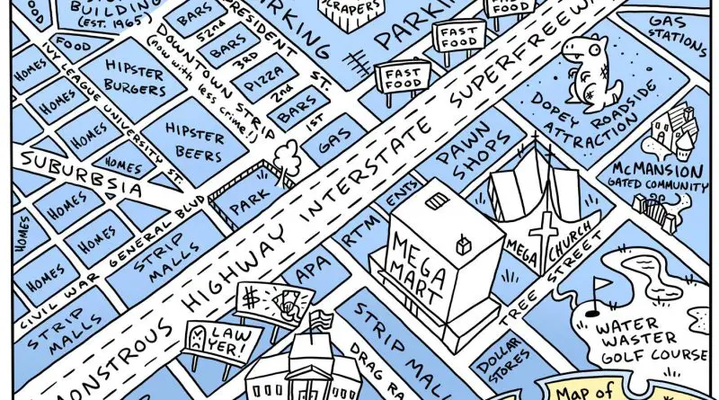
Cities are the beating hearts of our civilizations, each with its own unique character and charm. However, beneath the surface, there are often striking similarities that define cities within the same country or region. Let’s explore the common features of American cities, European cities, cities in post-Soviet countries, and Chinese cities, highlighting the essence of urban life across borders.

Read more: A Map of Every City
Economic mapsHistorical Maps

GDP per Capita in Europe 1890 vs 2017

The evolution of GDP per capita in Europe from 1890 to 2017 showcases a profound transformation in the continent’s economic landscape. In 1890, Europe was marked by significant economic diversity, with Western European nations leading in industrialization and higher GDP per capita, while Eastern and Southern European countries lagged behind. By 2017, Europe had undergone dramatic changes, with Western European countries maintaining their economic lead, but with Eastern and Southern European nations making significant strides in economic development. This transformation highlights Europe’s resilience and adaptability, as well as its commitment to economic progress and cooperation.

Read more: GDP per Capita in Europe 1890 vs 2017
CitiesInfographics

The World’s New Megacities: Developing countries will dominate megacity growth over the next two decades

In the grand tapestry of human civilization, megacities stand as towering monuments to the ingenuity, complexity, and sheer scale of urban life. Defined as urban areas with populations exceeding 10 million inhabitants, megacities are not merely geographic entities but thriving ecosystems of culture, economy, and diversity. Let’s embark on a journey to explore some of the world’s current megacities and speculate on the emerging giants that are poised to shape the future.

Read more: The World’s New Megacities: Developing countries will dominate megacity growth over the next two decades
Interactive mapsMapping Health

Health Inequality in the UK

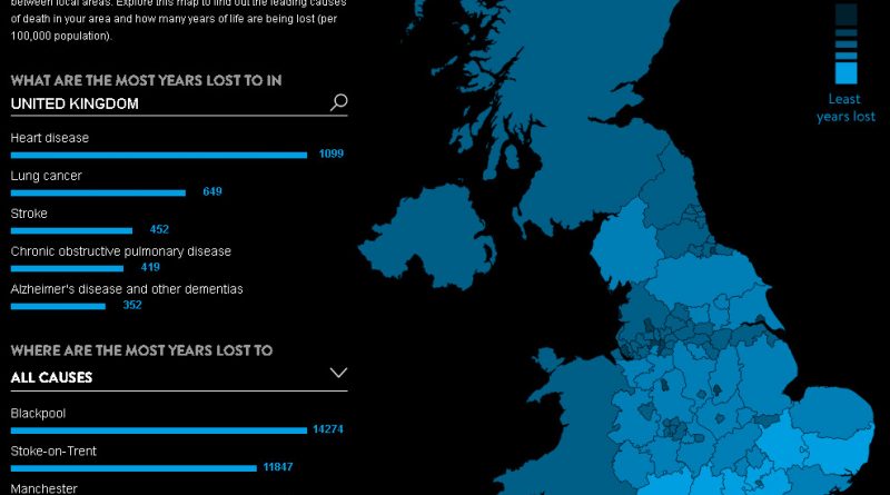
Health inequality in the UK is a complex issue with spatial disparities playing a significant role. Addressing this issue requires a comprehensive approach that addresses the social determinants of health and ensures equitable access to healthcare services. By understanding the spatial aspects of health inequality, policymakers and healthcare providers can develop targeted interventions to improve health outcomes for all.

Read more: Health Inequality in the UK
Political mapsVoronoi maps

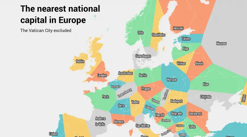
The spatial distribution of European capitals

Many European capitals are located on coastlines or along major rivers. This was historically advantageous for trade, transportation, and defense. Examples include London (UK) along the River Thames, Lisbon (Portugal) along the Atlantic coast, Rome (Italy) near the Tyrrhenian Sea, Paris (France) on the Seine, Berlin (Germany) on the River Spree, and Budapest (Hungary) on the Danube.

Read more: The spatial distribution of European capitals
Animated mapsDemographyEthnic mapsNews

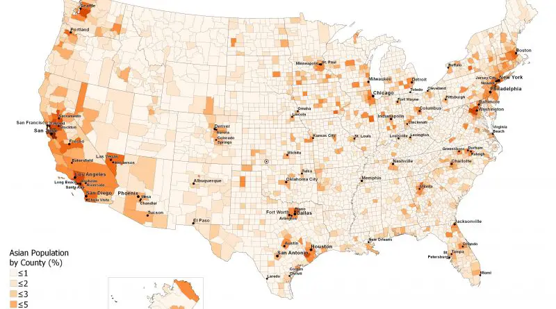
Understanding the U.S. Asian Population: A Comprehensive Overview

Asian Americans are a vibrant and diverse community, making up about 7.2% of the U.S. population. This article explores the ethnic composition, spatial distribution, and historical growth of Asian Americans, highlighting the areas with the highest and lowest concentrations. With detailed maps and animations, gain insights into the significant contributions and dynamic presence of Asian Americans across the United States.

Read more: Understanding the U.S. Asian Population: A Comprehensive Overview