Skip to content
VividMaps

  • Atlases
  • Map Posters
  • Scratch Maps
  • Globes
  • Videos
Historical MapsOld maps
January 13, 2018 Alex

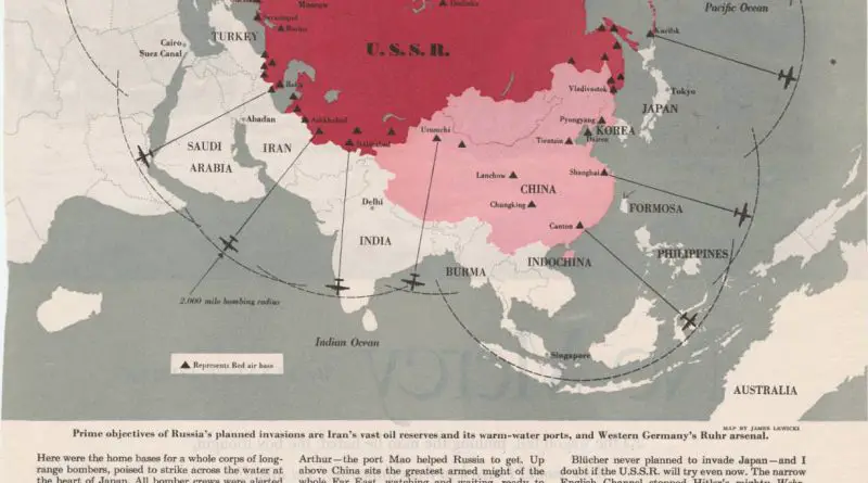
Stalin’s Secret War Map: A Cold War Plot, or Just Paranoia?

Did Stalin really plan to conquer the world? A 1952 magazine map claimed to reveal his Cold War strategy. Explore the history, the defector’s claims, and why the map still sparks debate today.

Read more: Stalin’s Secret War Map: A Cold War Plot, or Just Paranoia? →
Political maps
January 12, 2018 Alex

Political evolution of U.S. senate (1789 – 2018)

A closer look at the U.S. Senate’s evolution from 1789 to 2018—complete with an animated map showing political changes, long vacancies, and the structure of the chamber itself.

Read more: Political evolution of U.S. senate (1789 – 2018) →
One year after war mapped
Old maps
January 12, 2018 Alex

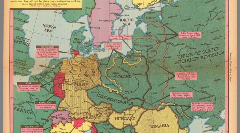
One year afterOne Year After WWII: A Map That Shows Europe Still in FluxOne year after

This 1946 map shows how unstable Europe still was a year after WWII ended—with shifting borders, Soviet control, and regions waiting for decisions.

Read more: One year afterOne Year After WWII: A Map That Shows Europe Still in FluxOne year after →
CitiesSize comparison maps
January 11, 2018 Alex

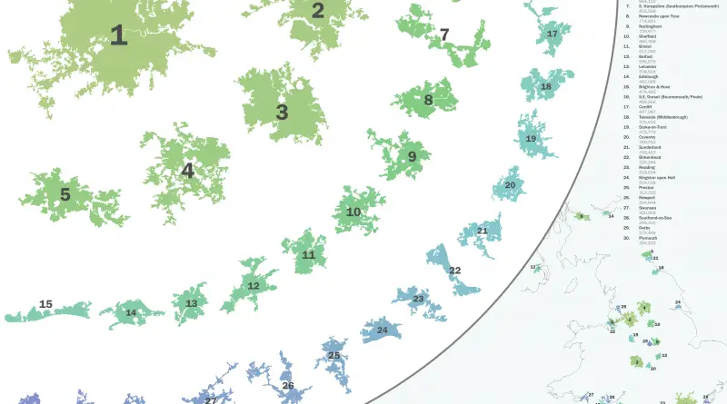
Size Comparison of the UK’s 30 Most Populous Urban Areas

How big is Greater London compared to other UK cities—or global giants like Tokyo and New York? This post ranks the top 30 built-up areas in Britain.

Read more: Size Comparison of the UK’s 30 Most Populous Urban Areas →
How Safe Is Your State in 2025?
Crime mapsNewsVivid maps
January 11, 2018 Alex

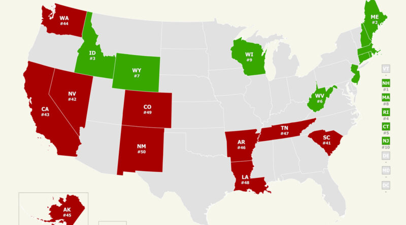
Mapped: The Safest and Most Dangerous States in America

How safe is your state? Our analysis of the 2025 U.S. News & World Report public safety rankings uncovers unexpected trends across America. Through interactive maps, we discover why New England tops the safest states and some others struggle with ongoing problems.

Read more: Mapped: The Safest and Most Dangerous States in America →
If there was a referendum on the Northern Ireland border…
Political maps
January 8, 2018 Alex

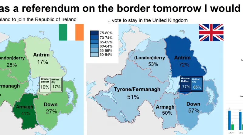
What Would Have Happened If Northern Ireland Voted on Irish Unity in 2016?

A 2016 map illustrates Northern Ireland’s regional perspectives on a potential border referendum, revealing the complexities of public opinion.

Read more: What Would Have Happened If Northern Ireland Voted on Irish Unity in 2016? →
Sociology
January 7, 2018 Alex

Would you be comfortable with a gay or lesbian leader?

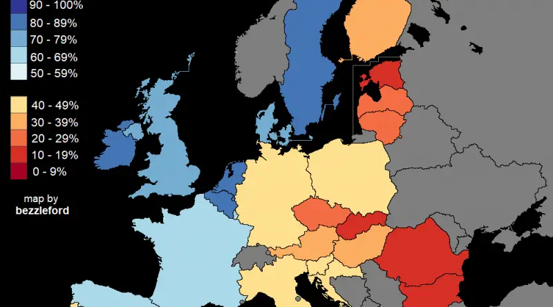
Percent of people who said they would be comfortable with a gay, lesbian, or bisexual in the highest elected political

Read more: Would you be comfortable with a gay or lesbian leader? →
Satirical map
January 7, 2018 Alex

10 Ways to Divide Chile

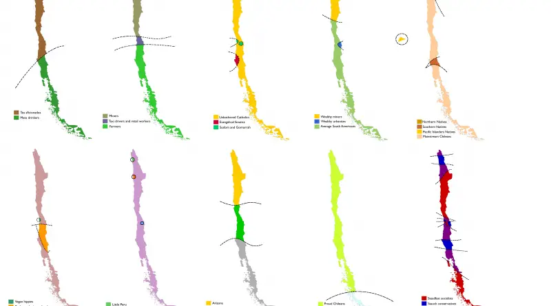
Chile as you’ve never seen it: tea lovers, proud miners, vegan hippies, and even Croatian separatists — all mapped out. These fun stereotype maps explore how Chile might see itself.

Read more: 10 Ways to Divide Chile →
Half the population of Nevada mapped
Population
January 6, 2018 Alex

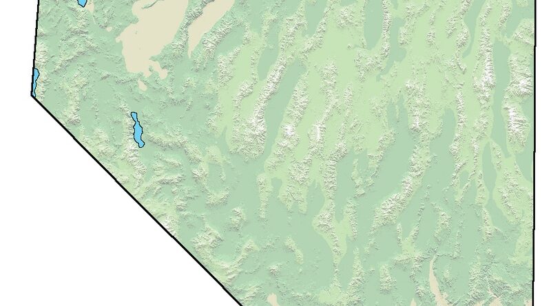
Half the population of Nevada

More than half of Nevada’s 3.2 million people live in the Las Vegas area, with Clark County alone housing about 2.34 million. New stats and local insights ahead.

Read more: Half the population of Nevada →
Where people can't afford to heat home mapped
Economic maps
January 6, 2018 Alex

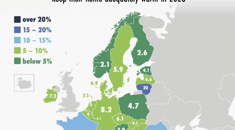
Can You Afford to Stay Warm?

In parts of Europe, staying warm in winter is still a financial struggle. These two maps, based on Eurostat data, show how things changed from 2016 to 2023.

Read more: Can You Afford to Stay Warm? →
Mapping Stereotypes
January 6, 2018 Alex

Tearing South Africa apart

Reddit user bezzleford created stereotype-based maps of South Africa showing how locals see their own country — through race, voting habits, tourism, minerals, and even causes of death.

Read more: Tearing South Africa apart →
CulinaryFoodLanguages
January 6, 2018 Alex

Pain au Chocolat vs Chocolatine

While most of the nation, and foreigners to France, might say “pain au chocolat”, a stronghold in the southwest has withstood, pridefully, standing to the term “chocolatine”.

Read more: Pain au Chocolat vs Chocolatine →
Mapping Stereotypes
January 6, 2018 Alex

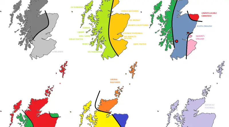
Tearing the United Kingdom apart

The UK as you’ve never seen it: divided by accents, snacks, and politics. These maps are full of dry humor and local stereotypes.

Read more: Tearing the United Kingdom apart →
Page 99 of 521« First«...9596979899100101102103...»Last »

Trending now

  • Human races of the 19th century
    How Has Our View of Human Diversity Changed Since the 19th Century?Oct 22, 2017
  • Maps of differences between East and West Germany
    Germany is still divided by east and westSep 11, 2020
  • Most popular social network
    Most Popular Social App by U.S. StateAug 9, 2019

Related Products

  • Push pin maps
  • Globe drinks cabinets
  • Maps of the United States
  • Board games
  • Monopoly
  • Map-based strategy board games
  • History Board Games
  • Coloring Books
  • Handheld GPS
  • GPS Watches
  • GPS Trackers

Vivid Maps Tools

  • Convert Latitude/Longitude
  • Elevation Finder
  • Distance Calculator
  • Kilometers to Miles Distance & Length Converter
  • Weight Converter
  • Volume Converter
  • Daylight Comparison
  • Time Zone Converter
  • Antipodes Map
  • Find cities with a similar climate
  • Find cities with a similar climate (2050)
  • How hot cities could be in 2050
  • The U.S. Population Lines

Stay connected

Get the latest maps, insights and updates delivered to your inbox.

Unsubscribe anytime.

VividMaps

Maps that explain the world.

Beautiful, data-rich maps to help you understand our world — its people, places and connections.

Explore

World map World atlas Map posters Globes

Company

About Privacy Contact

Stay connected

Follow us for the latest maps, insights and updates.

Independent WebsiteVirusScanner trust report for vividmaps.com
© 2026 Vivid Maps. All rights reserved.
A more connected world